


 Listen Live
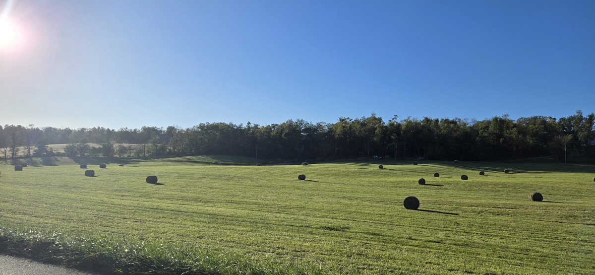

HARRISONBURG VA: (Rocktown Now) – Skies will be clear and the chance of frost will continue overnight tonight into Monday morning. High pressure settles over the Shenandoah Valley today, meaning decreased winds and cooler temperatures again today. Frost may form in parts of the valley again tonight with temperatures dropping to around freezing. A period of warmer weather starts Tuesday and should continue for the week ahead. It’s looking, for now, like we will have mostly clear skies all week. A Nor’easter is expected to be off the coast of the Carolinas this week but right now it’s looking like it will stay to our east, having little impact on the valley.
Freeze Warning until 9 a.m. this morning
Here’s the WSVA local forecast for Harrisonburg and the Shenandoah Valley
Today: Widespread frost, mainly before 9am. Otherwise, sunny, with a high near 56. North wind 5 to 7 mph.
Tonight: Areas of frost after 2am. Otherwise, clear, with a low around 32. Calm wind.
Monday: Widespread frost, mainly before 8am. Otherwise, sunny, with a high near 61. Calm wind becoming north 5 to 8 mph in the morning.
Monday Night: Mostly clear, with a low around 39. North wind 3 to 5 mph.
Tuesday: Sunny, with a high near 67.
Tuesday Night: Mostly clear, with a low around 40.
Wednesday: Sunny, with a high near 62.
Wednesday Night: Mostly clear, with a low around 39.
Thursday: Sunny, with a high near 65.
Thursday Night: Mostly clear, with a low around 42.
Friday: Sunny, with a high near 63.
Friday Night: Mostly clear, with a low around 41.
Saturday: Mostly sunny, with a high near 61.
Sunset today will be at 6:33 p.m.
Sunrise Monday will be at 7:28 a.m.
Moonrise today 2:44 p.m.
Moonset Monday 12:25 a.m.
Historical weather data at the Dale Enterprise Weather Station
High: 86 in 1938
Low: 24 in 1916
Precipitation: 2.00 in 1898