


 Listen Live

HARRISONBURG VA: (Rocktown Now) – We will remain under the influence of a warm, […]

Again, we have the threat for showers and thunderstorms over the Shenandoah Valley. Most likely, some areas will see some, while the majority of the valley won’t.

Humidity will increase, especially as we head toward the weekend, setting us up for some typical August like weather.
The chance for showers and thunderstorms returns late tonight and Wednesday.
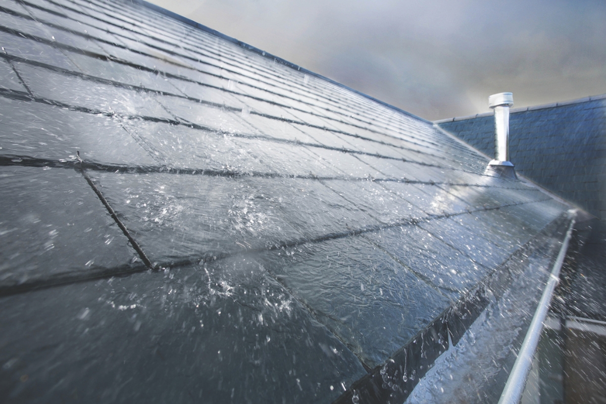
Again, today the threat for flooding will exist, in areas where heavy downpours may occur.
The best chance for rain will be early in the week, although there’s at least a chance for scattered showers every day.
Temperatures will climb back to the mid 80’s today, with low humidity. A low pressure system brings warmer and more humid weather starting Sunday.

The chance for showers and thunderstorms will return to our forecast on Sunday and continue most of next week.

Sunny skies and comfortable temperatures today. Overnight lows may drop into the 50’s in parts of the Shenandoah Valley tonight.
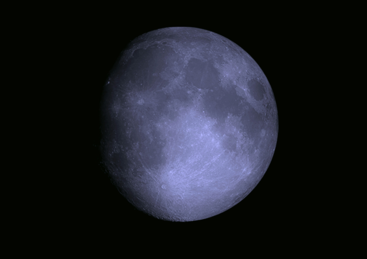
High pressure will mean sunny days and clear starry nights into the upcoming weekend.