


 Listen Live

The chance for strong thunderstorms will continue overnight with the best chance being until around 1 or 2 a.m.

Storms will be hit‑or‑miss but capable of heavy rainfall, frequent lightning, and localized damaging wind gusts, especially during the afternoon and evening.

Some area in the valley could see a quarter to one half inch of rain today.

The chance for showers today will be low, but will increase on Friday.

Today will be hot and mostly sunny with just a slight chance of an afternoon or evening shower or thunderstorm.
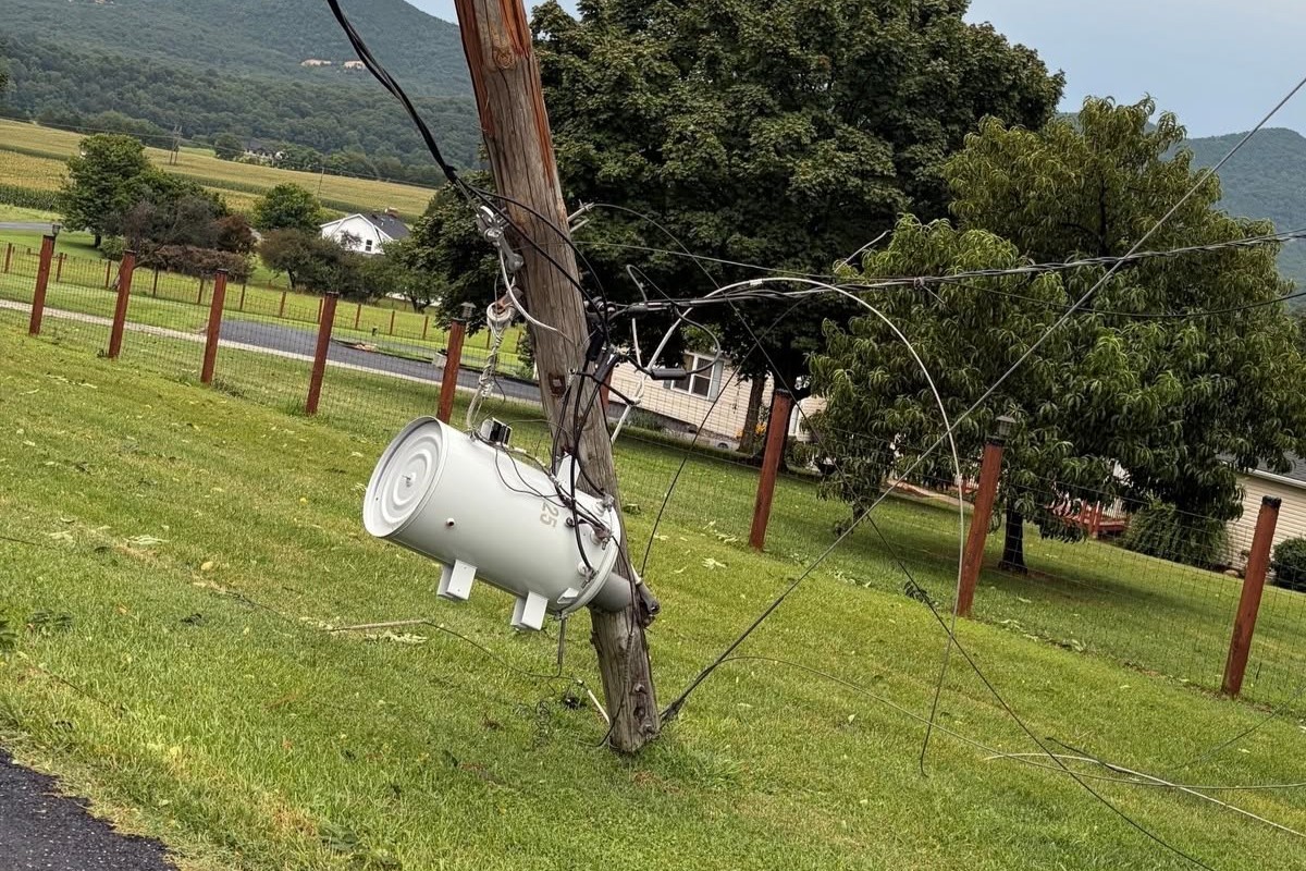
Dominion Energy currently shows no outages affecting customers in the Shenandoah region, including Rockingham County,
While the chance for storms remains high, the chances will decrease as the week progresses.

Temperatures are expected to reach the upper 80s to lower 90s today through Thursday, creating potentially uncomfortable conditions for outdoor activities.

Temperatures today through Tuesday reaching near, or slightly above 90 degrees each afternoon and the heat index making it feel a few degrees warmer.
While a few isolated afternoon and evening thunderstorms are possible today and again on Sunday due to daytime heating and lingering moisture, most of the period is expected to feature plenty of sunshine, light winds, and above-normal temperatures.