


 Listen Live
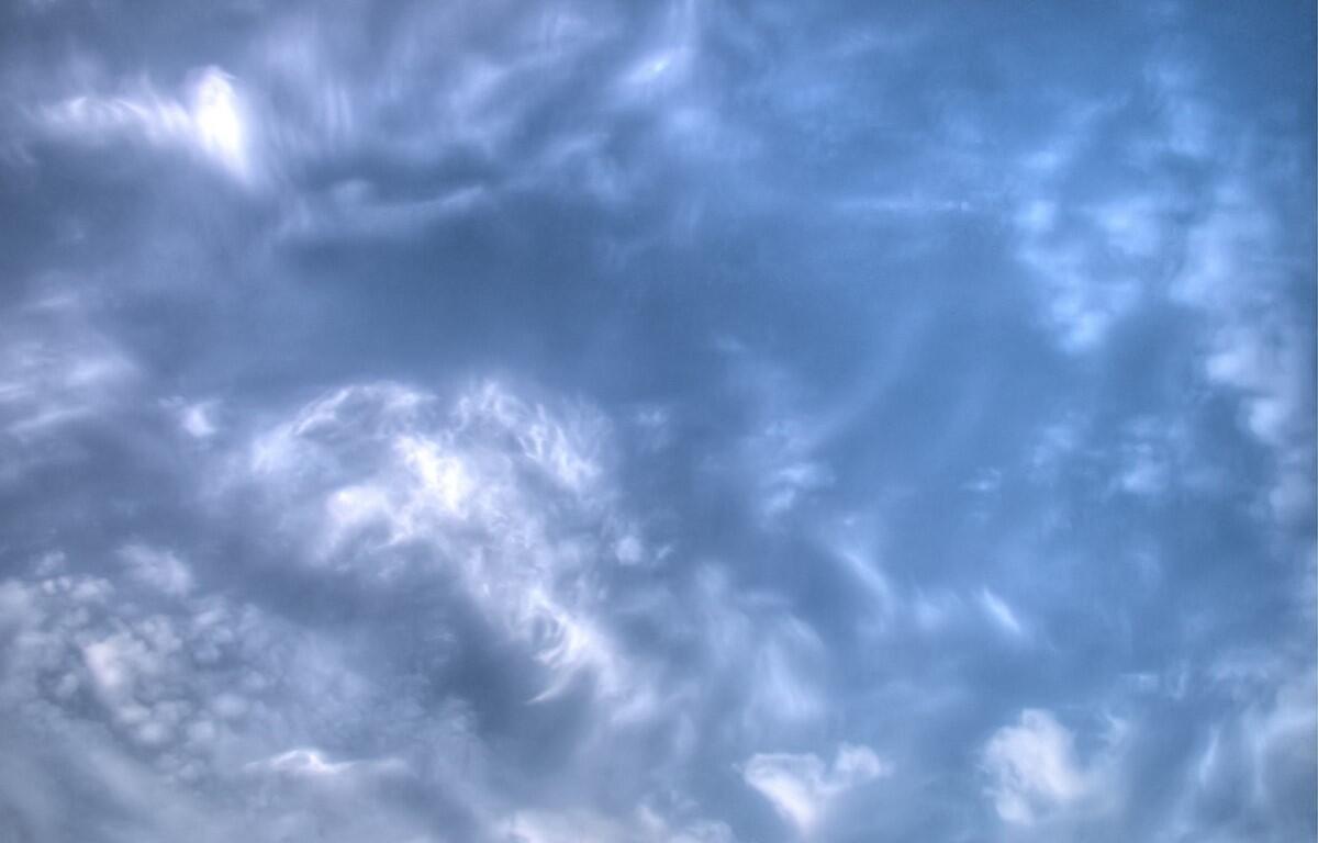

HARRISONBURG VA: (Rocktown Now) – As the Nor-Easter moves out to sea, clouds will begin to break, and sunshine and warmer temperatures will move over the Shenandoah Valley. The low, that’s been stalled over us, will have a chance to move north, replaced by a southerly flow and sunshine by tomorrow. Temperatures are expected to rise through the 70’s and into the 80’s by mid-week. A cold front is expected to bring a chance for rain at the end of the week, although it’s still unclear if it will arrive Friday or stay to our north and finally get here Saturday or Sunday.
Here’s the WSVA local forecast for Harrisonburg and the Shenandoah Valley
Today: mostly cloudy. High 69. Winds north-northwest 6-12 mph.
Tonight: mainly clear; fog late. Low 56. Winds northwest 3-6 mph.
Tuesday: pleasant with some sun, then turning cloudy. High 72. Winds north-northwest 3-6 mph.
Wednesday: sun and areas of high clouds. High 80. Winds south 4-8 mph.
Thursday: sunny to partly cloudy and very warm. High 82. Winds west-southwest 4-8 mph.
Friday: a mix of clouds and sunshine. High 82. Winds west-southwest 3-6 mph.
Sunset today will be at 7:02 p.m.
Sunrise Tuesday will be at 7:09 a.m.
Moonset today will be at 9:17 a.m.
Moonrise today will be at 7:52 p.m.
Weather records for this date at the Dale Enterprise Weather Station
High: 90 in 1998
Low: 31 in 1899
Precipitation: 2.32 in 1967