
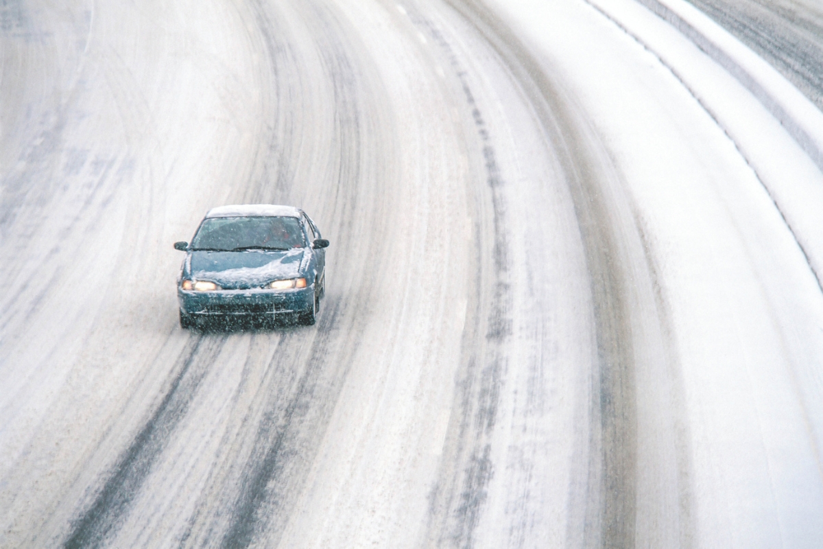
With extreme arctic temperatures forecast for the area this morning, AAA Mid-Atlantic urges drivers to make sure their vehicles are ready for the cold.

STERLING VA: (Rocktown Now) –The National Weather Service reports that a Winter Weather Advisory […]
Another winter storm is expected to bring light to moderate snow to parts of the Shenandoah Valley Monday morning.

VDOT reports conditions are steadily improving as of mid-day Friday but still advises caution.
STERLING VA: (Rocktown Now) – Drivers across portions of Virginia and eastern West Virginia […]
Shenandoah National Park is reporting that all of Skyline Drive will be closing today starting at 4pm. This is due to incoming inclement weather.
With the first widespread storm of the season heading into the region overnight Thursday into Friday, AAA is warning drivers to exercise extra caution during their morning and evening commutes.

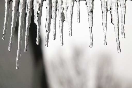
Columbia Gas of Virginia is reminding customers to prepare now so that they can keep their families safe and warm as the potential increases for hazards such as ice, show and plummeting temperatures.

Closings and delays for Tuesday, December 2.
STERLING VA: (Rocktown Now) – The region is bracing for its first significant winter […]