

HARRISONBURG VA: (ROCKTOWN NOW) – A series of weather systems and frontal boundaries will continue to move through the Shenandoah Valley through Saturday, bringing intermittent showers and thunderstorms, along with cooler-than-average temperatures. High pressure is expected to gradually build in from Sunday into early next week, setting the stage for a warming trend by midweek.
Here’s the exclusive AccuWeather forecast for Harrisonburg and the Shenandoah Valley
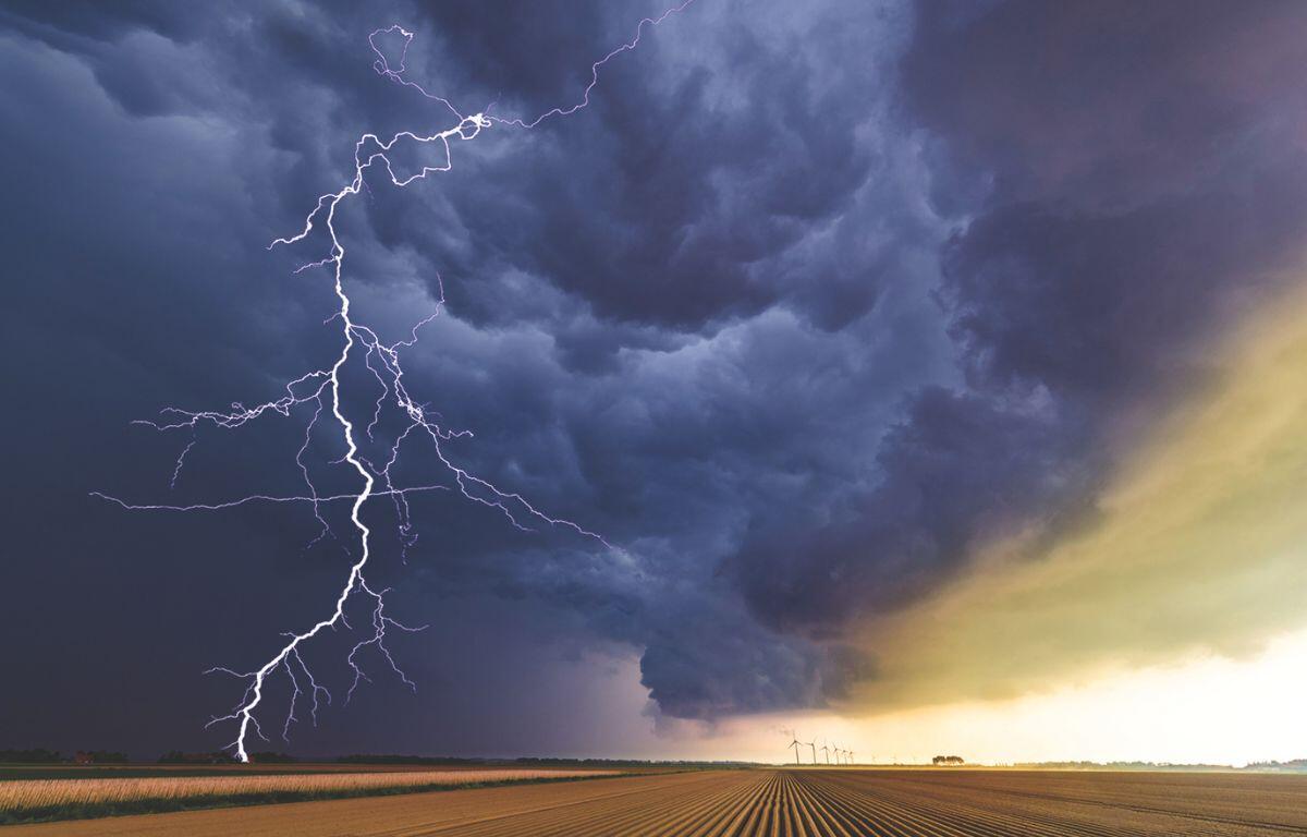
SEVERE THUNDERSTORM WARNING UNTIL 6 P.M.
FLOOD WATCH LATE TONIGHT THROUGH EARLY SATURDAY MORNING
Tonight: a heavy thunderstorm early this evening; otherwise, mostly cloudy and breezy. Low 54. Winds
west-northwest 10-20 mph.
Tomorrow: a thunderstorm in spots in the morning; otherwise, breezy with variable cloudiness. High 69.
Winds west-northwest 10-20 mph.
Tomorrow night: breezy in the evening; otherwise, clear and chilly. Low 43. Winds west 7-14 mph.
Sunday: delightful with sun and some clouds. High 70. Winds west 7-14 mph.
Monday: mostly sunny and nice. High 75. Winds north-northeast 4-8 mph.
Tuesday: mostly sunny and nice. High 78. Winds light and variable.
Sunset today 8:32 p.m.
Sunrise Saturday 5:53 a.m.
Records for this date at the Dale Enterprise Weather Station, located west of Harrisonburg, VA.
High: 96 in 2011
Low: 35 in 1932
Rainfall: 1.61 in 1971