
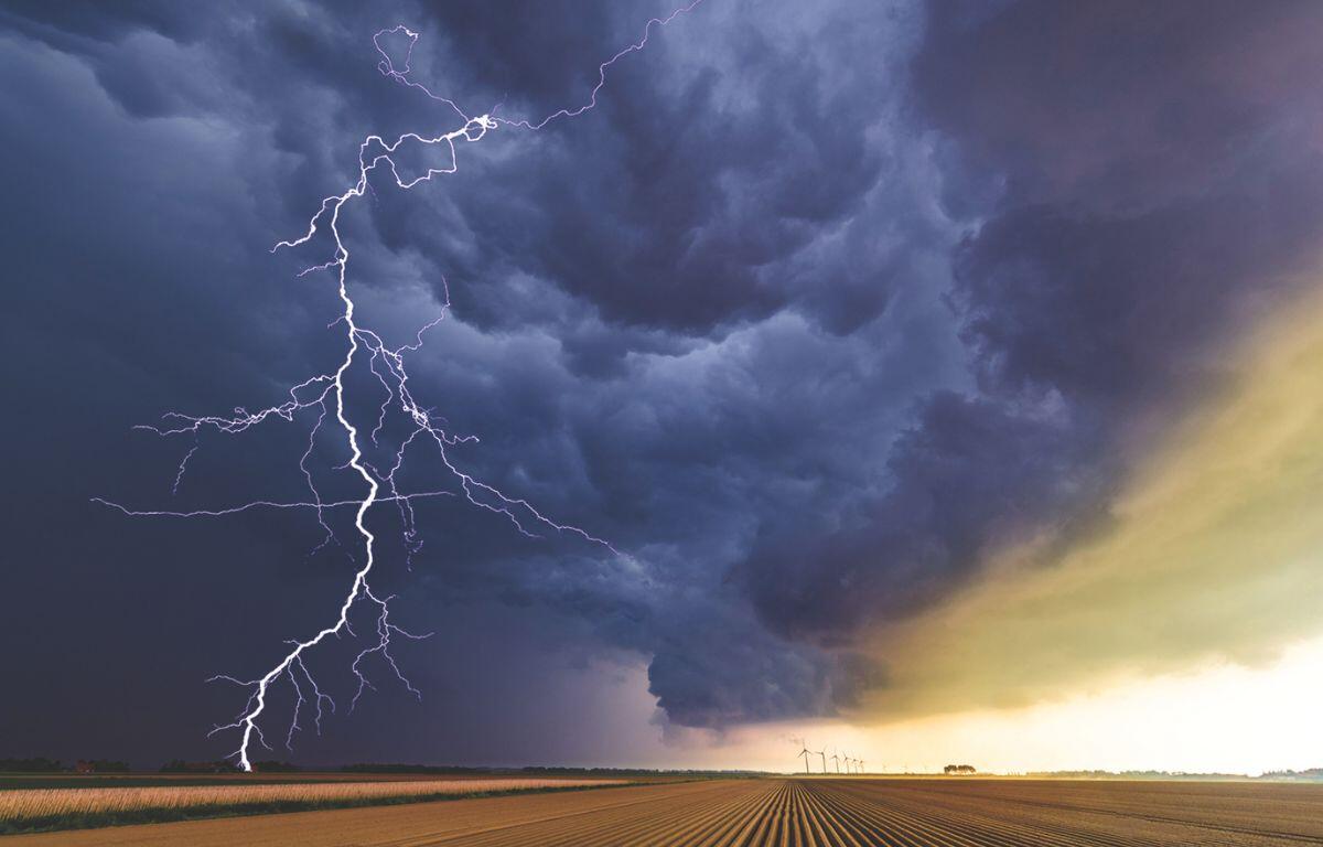

HARRISONBURG VA: (Rocktown Now) – A strong cold front will bring a chance for strong to severe thunderstorms. The system is expected to form today over the Midwest and race east by Monday, bringing damaging wind gust, possible hail and heavy downpours that could cause flash flooding. There will also be a slight risk of tornadoes.
Here’s the WSVA exclusive AccuWeather forecast for Harrisonburg and the Shenandoah Valley
Tonight: cloudy with a couple of showers late. Low 51. Winds south-southeast 6-12 mph.
Tomorrow: considerable cloudiness, windy and warm with showers and gusty thunderstorms.
Thunderstorms can bring damaging winds. High 68. Winds south-southwest 15-25 mph.
Tomorrow night: breezy in the evening; otherwise, rather cloudy and much colder. Low 27. Winds
west-northwest 10-20 mph.
Tuesday: breezy and much colder with periods of clouds and sunshine. High 35. Winds west 10
-20 mph.
Wednesday: mostly cloudy and cold. High 39. Winds southeast 4-8 mph.
Thursday: clouds and sunshine. High 55. Winds south 4-8 mph.
Sunset today will be at 7:22 p.m.
Sunrise Monday will be at 7:25 a.m.
Historical weather data for this date at the Dale Enterprise Weather Station
High: 78 in 2012
Low: 2 in 1993
Precipitation: 1.00 in 1922
Snowfall: 7.0 in 1999