


 Listen Live
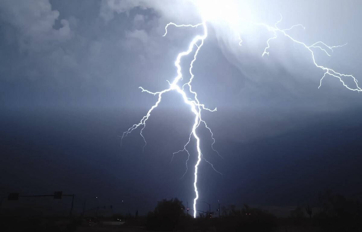

HARRISONBURG VA: (Rocktown Now) – A cold front, which had stalled near the Virginia/North Carolina boarder, is expected to return north today. Very warm and humid air will collide with the front, increasing the chance for strong to severe weather. The best chance for severe storms will be late afternoon and early evening. Showers and thunderstorms may linger overnight. Sunshine returns Wednesday and a period of cooler days and nights begins Thursday and should continue into the weekend.
…FLOOD WATCH IN EFFECT UNTIL 2 AM EDT WEDNESDAY…
- WHAT…Flash flooding caused by excessive rainfall is possible.
- WHERE…Portions of Virginia, including the following areas,
Albemarle, Augusta, Central Virginia Blue Ridge, Eastern Highland,
Nelson, Rockingham and Western Highland and eastern West Virginia,
including the following areas, Eastern Pendleton and Western
Pendleton. - WHEN…Until 2 AM EDT Wednesday.
- IMPACTS…Excessive runoff may result in flooding of rivers,
creeks, streams, and other low-lying and flood-prone locations.
Creeks and streams may rise out of their banks. - ADDITIONAL DETAILS…
- Multiple rounds of heavy showers and thunderstorms are
expected this afternoon into the early morning hours of
Wednesday. Intense rainfall rates of 2 inches or greater are
possible which may result in flash flooding of small streams
and creeks.
A Severe Thunderstorm Watch is in effect until 10 PM. Scattered
severe thunderstorms are expected this afternoon and evening.
Damaging wind gusts are the primary threat, although large hail
and a tornado are possible. A few instances of flash flooding are
also possible.
A Flood Watch for flash flooding has been issued for areas along
the I-64 corridor in central Virginia until 2 AM Wednesday.
The WSVA local AccuWeather forecast for Harrisonburg and the Shenandoah Valley
Tonight: mostly cloudy and humid with a couple of showers and a heavy thunderstorm this evening followed by a passing shower late. Storms can bring flooding downpours, hail, damaging wind gusts, and an isolated tornado. Low 67. Winds southwest 4-8 mph.
Tomorrow: mostly sunny with a thunderstorm in parts of the area. High 84. Winds west 4-8 mph.
Tomorrow night: clear. Low 63. Winds north-northeast 4-8 mph.
Thursday: mostly sunny, pleasant and less humid. High 77. Winds northeast 4-8 mph
Friday: pleasant with sun and some clouds. High 77. Winds south-southeast 4-8 mph.
Saturday: pleasant with sunshine and a few clouds. High 77. Winds north-northeast 3-6 mph.
Sunset today will be at 8:35 p.m.
Sunrise Wednesday will be at 6:09 a.m.
Historical weather data for this date at the Dale Enterprise Weather Station
High: 105 in 1926
Low: 45 in 1909
Precipitation: 1.93 in 1969