
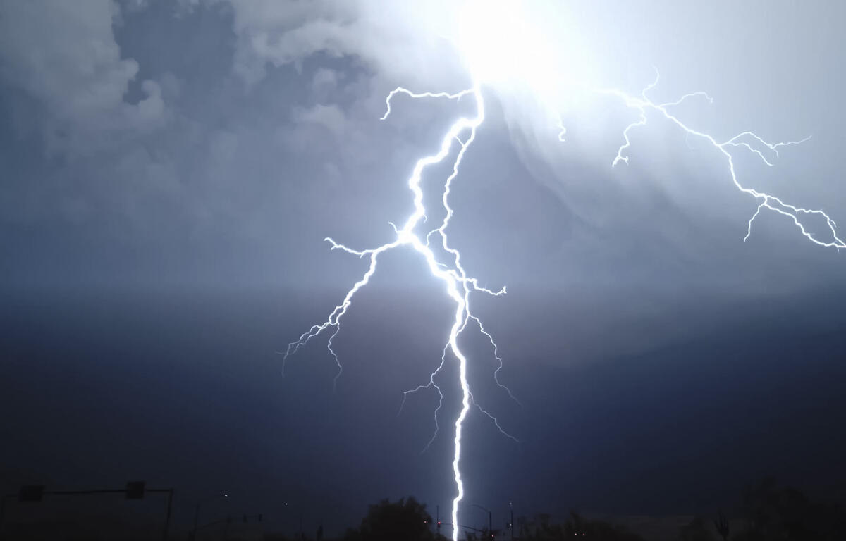

HARRISONBURG VA: (Rocktown Now) – Hot weather continues today with the threat of strong to severe weather this afternoon and evening. Scattered severe thunderstorms capable of producing damaging winds and large hail are possible. The best chance of storms over the Shenandoah Valley will be after 2 p.m. and continue into the evening hours. The chance for more storms grows as Thursday progresses, although the severe weather possibility will be low.
The WSVA local AccuWeather forecast for Harrisonburg and the Shenandoah Valley
Tonight: cloudy with a couple of showers and a thunderstorm. Thunderstorms can bring localized damaging wind gusts, hail and flooding downpours. Low 61. Winds northeast 4-8 mph.
Tomorrow: cloudy and cooler with a bit of rain. High 66, but temperatures falling into the middle
50s. Winds north-northeast 6-12 mph.
Friday: cloudy and cool with a couple of showers and a thunderstorm. High 57. Winds northeast 4-8 mph.
Saturday: still cloudy and cool with a thunderstorm. Outdoor plans can be impacted. High 61.
Winds southeast 4-8 mph.
Sunday: mostly cloudy with a couple of showers. High 69. Winds north-northeast 4-8 mph.
Monday: cloudy with a thunderstorm. High 74. Winds south-southeast 6-12 mph.
Sunset today will be at 8:24 p.m.
Sunrise Thursday will be in 5:59 a.m.
Historical weather data for this date at the Dale Enterprise Weather Station
High: 93 in 1911
Low: 31 in 2002
Precipitation: 1.70 in 1919