
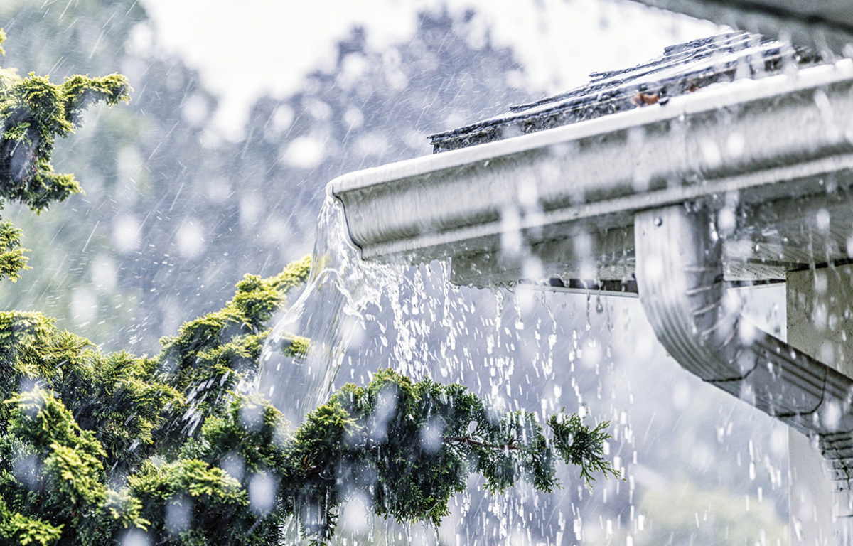

HARRISONBURG VA: (Rocktown Now) – Low pressure will move northeast and along the stationary front to our north, causing more rain for today. A steady rain can be expected today. The front is expected to slide south by tonight, but then return north by Monday, bringing another round of showers and the chance for thunderstorms as temperatures warm Sunday and Memorial Day.
The WSVA local AccuWeather forecast for Harrisonburg and the Shenandoah Valley
Tonight: drizzle. Low 51. Winds north 4-8 mph.
Sunday: drizzle in the morning; cloudy and warmer. High 72. Winds south-southeast 4-8 mph.
Sunday night: clouds and showers. Low 60. Winds southwest 3-6 mph.
Monday: cloudy and humid with a couple of showers and a thunderstorm. High 71. Winds light and variable.
Monday night: clouds and late night showers. Low 60. Winds near calm.
Tuesday: remaining cloudy and humid with a touch of rain. High 69. Winds light and variable.
Wednesday: morning showers. Cloudy. High 74. Winds light and variable.
Sunset this evening will be at 8:27 p.m.
Sunrise on Sunday will be at 5:57 a.m.
Historical weather data for this date at the Dale Enterprise Weather Station
High: 94 in 1911
Low: 32 in 2002
Precipitation: 1.92 in 1913