

March 20, 2024
Sunset today 7:27 p.m.
Sunrise Thursday 7:16 a.m.
From the National Weather Service
…RED FLAG WARNING REMAINS IN EFFECT UNTIL 8 PM EDT THIS EVENING
FOR GUSTY WINDS AND LOW RELATIVE HUMIDITY IN NORTHERN AND CENTRAL
VIRGINIA AND PORTIONS OF THE POTOMAC HIGHLANDS IN EASTERN WEST
VIRGINIA
* WINDS…West 20 to 30 mph with gusts up to 60 mph.
* RELATIVE HUMIDITY…As low as 15 percent.
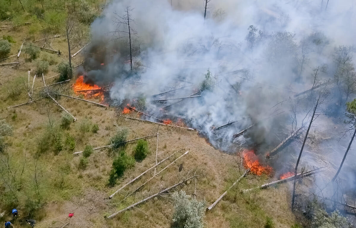
* IMPACTS…The combination of dry conditions, low humidity, and
strong gusty winds may result in favorable conditions for the
rapid spread of fires.
* FUEL MOISTURE…Less than 10 percent for 10 hour fuels.
PRECAUTIONARY/PREPAREDNESS ACTIONS…
A Red Flag Warning means that critical fire weather conditions
are either occurring now, or will shortly. A combination of
strong winds, low relative humidity, and warm temperatures can
contribute to extreme fire behavior.
A strong cold front crosses the region today bringing another round
gusty winds, low relative humidities, and mountain snow showers.
Winds will gradually weaken Thursday as high pressure briefly builds
over the region. Widespread rain arrive from the south late
Friday into Saturday as an area of low pressure pushes north
from the Gulf Coast region. Unsettled weather conditions linger
into early next week.
Here’s the WSVA local AccuWeather forecast
Today: winds gusting past 45 mph; sunny to partly cloudy and warmer. Gusty winds and low humidity will
result in a high fire threat. High 60. Winds west 25-35 mph.
Tonight: clear. Low 25. Winds northwest 6-12 mph.
Tomorrow: plenty of sunshine. High 49. Winds northwest 4-8 mph.
Friday: becoming cloudy. High 54. Winds south-southeast 6-12 mph.
Saturday: a morning shower; otherwise, a thick cloud cover. High 52. Winds north 7-14 mph.
Sunday: periods of clouds and sunshine. High 52. Winds north-northeast 6-12 mph.