


 Listen Live
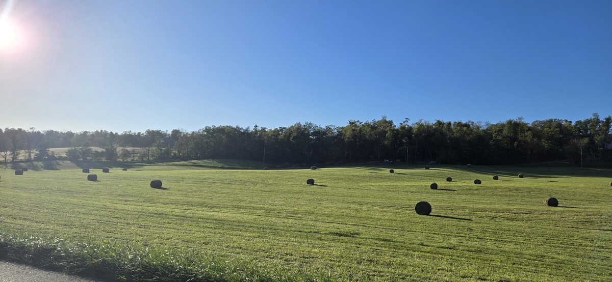

HARRISONBURG VA: (Rocktown Now) – High pressure and southerly winds will help bring us sunshine and warm temperatures today into Wednesday. Warm and humid weather will continue, ahead of a cold front, which will bring clouds, showers and cooler temperatures starting Thursday. A low over the Ohio River Valley will begin to move south, allowing a shift to northwesterly winds late in the week. Showers and thunderstorms will be possible at the end of the week.
Here’s the WSVA local forecast for Harrisonburg and the Shenandoah Valley
Today: Sunny, with a high near 81. Calm wind becoming southwest 5 to 9 mph in the afternoon.
Tonight: Clear, with a low around 60. Southwest wind around 5 mph becoming calm in the evening.
Wednesday: Sunny, with a high near 86. Calm wind becoming southwest around 5 mph in the afternoon.
Wednesday Night: A slight chance of showers after 2am. Partly cloudy, with a low around 63. Calm wind. Chance of precipitation is 20%.
Thursday: Showers likely, mainly after 2pm. Mostly cloudy, with a high near 69. Chance of precipitation is 60%.
Thursday Night: Showers likely and possibly a thunderstorm before 8pm, then a slight chance of showers and thunderstorms between 8pm and 2am. Mostly cloudy, with a low around 59. Chance of precipitation is 60%.
Friday: A slight chance of showers after 2pm. Partly sunny, with a high near 77. Breezy. Chance of precipitation is 20%.
Friday Night: Partly cloudy, with a low around 42.
Saturday: Mostly sunny, with a high near 55.
Saturday Night: Mostly clear, with a low around 31.
Sunday: Sunny, with a high near 58.
Sunday Night: Mostly clear, with a low around 37.
Monday: Sunny, with a high near 64.
Sunset today will be at 6:40 p.m.
Sunrise Wednesday will be at 7:23 a.m.
Moonrise today 10:33 a.m.
Moonset today 8:02 p.m.
Historical weather data for this date at the Dale Enterprise Weather Station
High: 89 in 1928
Low: 20 in 1907
Precipitation: 2.18 in 1893