
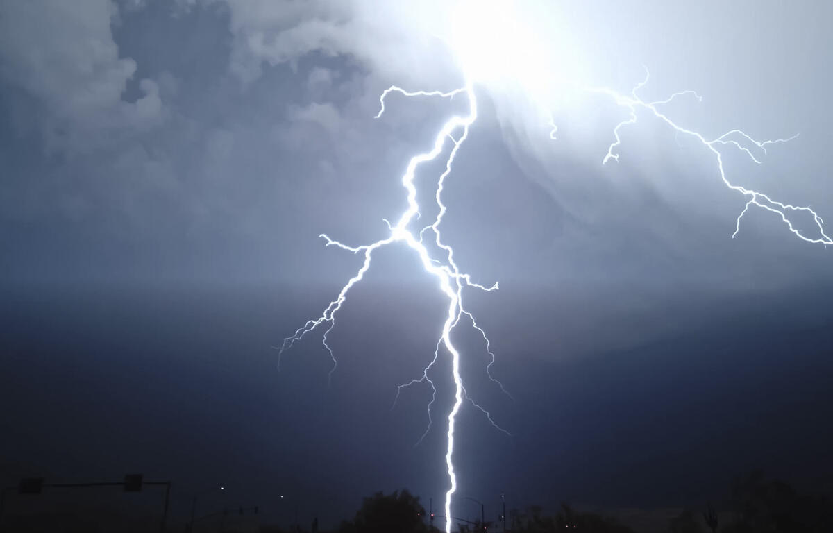

HARRISONBURG VA: (Rocktown Now) – A Major Heat Risk is how the National Weather Service is describing the weather for the next two days. Temperatures will climb into the low and mid 90s and the Heat Index is expected to reach 100. Strong to severe thunderstorms will also be possible this afternoon and evening. Temperatures return to the 80s this weekend with less humidity at least on Saturday.
The WSVA local AccuWeather forecast for Harrisonburg and the Shenandoah Valley
Today: hot with times of clouds and sun; a thunderstorm in spots in the afternoon. Storms can bring flooding downpours and localized damaging wind gusts. High 93. Winds west 6-12 mph.
Tonight: partly cloudy, warm and humid. Low 69. Winds west-southwest 4-8 mph.
Friday: intervals of clouds and sunshine, toasty conditions with a heavy thunderstorm in the afternoon. Extreme heat can be dangerous; storms can bring downpours, hail and localized damaging wind gusts. High 92. Winds west 6-12 mph.
Saturday: mostly sunny, very warm and less humid. High 86. Winds north-northeast 3-6 mph.
Sunday: mostly cloudy and very warm. High 89. Winds west-southwest 6-12 mph
Sunset today will be at 8:39 p.m.
Sunrise Friday will be at 5:50 a.m.
Historical weather data for this date at the Dale Enterprise Weather Station
High: 98 in 1914
Low: 34 in 1972
Precipitation: 1.80 in 1900