


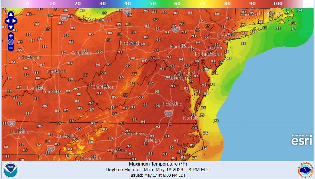
HARRISONBURG VA: (Rocktown Now) – This seems to be the year of roller coaster temperatures. In the spring it was 70s and 20s. This week we go from 90 to a high in the 50s at weeks end. I don’t think we’ll break any records today. The high at Dale Enterprise on this date in 1911 was 94. Today and Tuesday will be hot with a chance for thunderstorms. The storm threat increases Wednesday as a cold front approaches and Thursday and Friday, we’ll most likely top out in the low 60’s.
The WSVA local AccuWeather forecast for Harrisonburg and the Shenandoah Valley
Tonight: mainly clear. Low 63. Winds south-southwest 4-8 mph.
Tomorrow: hot with clouds and sunshine; a thunderstorm in spots in the afternoon. Possible danger of dehydration and heatstroke while doing strenuous activities. High 93. Winds southwest 6-12 mph.
Tomorrow night: mainly clear. Low 65. Winds south-southwest 4-8 mph.
Wednesday: partly sunny and hot with a thunderstorm in the afternoon. Thunderstorms can bring localized damaging wind gusts. High 90. Winds west 6-12 mph.
Thursday: a couple of morning showers; otherwise, cloudy and cooler. High 62. Winds north northeast 6-12 mph.
Friday: cloudy and cool with a couple of showers and a thunderstorm. High 60. Winds east southeast 3-6 mph.
Sunset today will be at 8:22 p.m.
Sunrise Tuesday will be at 6:00 a.m.
Historical weather data for this date at the Dale Enterprise Weather Station
High: 94 in 1911
Low: 31 in 1973
Precipitation: 1.80 in 2011