

HARRISONBURG VA: (Rocktown Now) – High pressure will shift offshore this morning as a cold front moves through the Mid-Atlantic. A low-pressure system is expected to form off the Carolina coast and track northeastward out to sea by Monday night. High pressure will return Tuesday and Wednesday, followed by another cold front crossing the region late Wednesday into Wednesday night. Brief high pressure will build again Thursday into Friday before yet another cold front approaches next weekend.
The WSVA exclusive AccuWeather forecast for Harrisonburg and the Shenandoah Valley
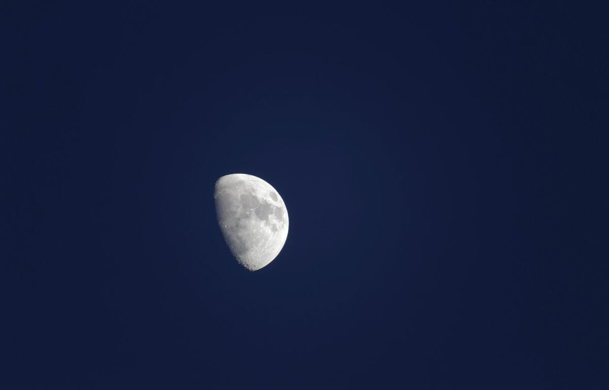
Tonight: a moonlit sky. Low 35. Winds west-northwest 4-8 mph.
Tomorrow: plenty of sunshine. High 60. Winds west 4-8 mph.
Tomorrow night: partly cloudy. Low 39. Winds south-southwest 3-6 mph.
Wednesday: mostly sunny and windy. Gusty winds can blow around unsecured objects and decorations.
High 71. Winds southwest 15-25 mph.
Thursday: mostly sunny and cooler. High 57. Winds light and variable.
Friday: breezy with a blend of sun and clouds; an afternoon shower in spots. High 60. Winds southsouthwest 10-20 mph.
Sunset today 5:13 p.m.
Sunrise Tuesday 6:45 a.m.
Historical weather data for this date at the Dale Enterprise Weather Station
High: 80 in 2016
Low: 16 in 1911
Rainfall: 1.15 in 1985
Snowfall: A trace in 1962