


 Listen Live
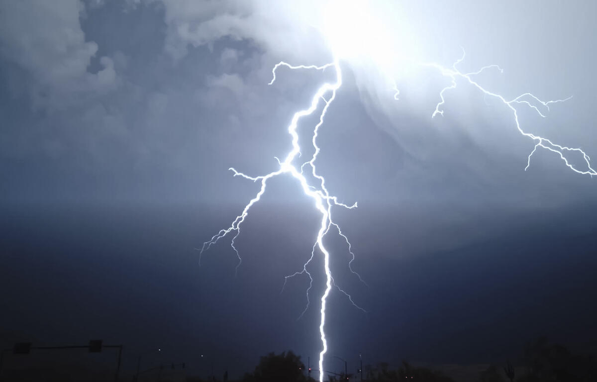

HARRISONBURG VA: (Rocktown Now) – Strong to severe thunderstorms are possible today. These storms will most likely occur in the early to mid afternoon. Another round of showers and thunderstorms will be possible during the evening, although they are less likely to reach severe levels. Midweek looks sunny and nice. The end of the week will bring at least a slight chance for thunderstorms, and humidity will increase by Thursday and Friday.
SEVERE THUNDERSTORM WATCH UNTIL 9 P.M.
Scattered severe thunderstorms capable of producing damaging
winds and isolated tornadoes are possible this afternoon and
evening. Multiple rounds of thunderstorms are possible, which
could lead to scattered instances of urban and poor drainage
flooding along and north of the Interstate 66 corridor.
From the National Weather Service
Scattered severe thunderstorms capable of producing damaging
winds and isolated tornadoes are possible this afternoon and
evening. Multiple rounds of thunderstorms are possible, which
could lead to scattered instances of urban and poor drainage
flooding along and north of the Interstate 66 corridor.
Here’s the WSVA forecast for Harrisonburg and the Shenandoah Valley
Tonight: Scattered showers and thunderstorms between 1am and 2am, then a slight chance of showers. Some of the storms could be severe. Mostly cloudy, with a low around 64. South wind 5 to 8 mph becoming calm in the evening. Chance of precipitation is 40%.
Tuesday: A chance of showers before 2pm, then a slight chance of showers and thunderstorms between 2pm and 3pm. Cloudy, then gradually becoming mostly sunny, with a high near 80. Light and variable wind becoming north 5 to 10 mph in the morning. Winds could gust as high as 18 mph. Chance of precipitation is 50%.
Tuesday Night: Mostly clear, with a low around 55. North wind 5 to 10 mph becoming light northwest in the evening. Winds could gust as high as 23 mph.
Wednesday: Sunny, with a high near 84. Light and variable wind.
Wednesday Night: Mostly clear, with a low around 60. Calm wind.
Thursday: Mostly sunny, with a high near 89.
Thursday Night: Partly cloudy, with a low around 64.
Friday: A slight chance of showers, then showers likely and possibly a thunderstorm after 2pm. Partly sunny, with a high near 90. Chance of precipitation is 60%.
Friday Night: Showers likely and possibly a thunderstorm before 8pm, then a chance of showers and thunderstorms between 8pm and 2am, then a chance of showers after 2am. Mostly cloudy, with a low around 65. Chance of precipitation is 60%.
Saturday: A chance of showers, with thunderstorms also possible after 2pm. Partly sunny, with a high near 87. Chance of precipitation is 50%.
Saturday Night: A chance of showers and thunderstorms. Partly cloudy, with a low around 65. Chance of precipitation is 30%.
Sunday: A slight chance of showers and thunderstorms. Mostly sunny, with a high near 90. Chance of precipitation is 20%.
Sunday Night: Partly cloudy, with a low around 66.
Monday: Sunny, with a high near 93.
Sunset today will be at 8:43 p.m.
Sunrise Tuesday will be at 5:52 a.m.
Historical weather data for this date at the Dale Enterprise Weather Station
High: 96 in 1988
Low: 42 in 1898
Precipitation: 3.17 in 1951