


 Listen Live
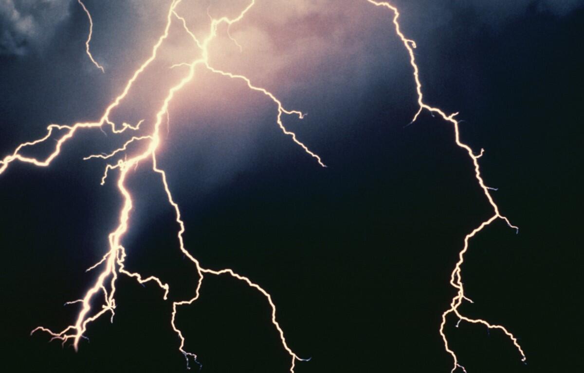

HARRISONBURG VA: (Rocktown Now) – A cold front will bring a chance for showers and thunderstorms starting today and continuing through tomorrow. A few of these storms could bring heavy downpours. Current estimates are for around a half inch of rain today and tonight combined and maybe another quarter of an inch on Saturday. After the front moves on, warmer and more humid weather will push east and into the Shenandoah Valley by next week.
The WSVA local AccuWeather forecast for Harrisonburg and the Shenandoah Valley
Tonight: mostly cloudy with a thunderstorm this evening, then fog late and humid. Low 64. Winds light and variable.
Tomorrow: a thick cloud cover and humid with a couple of showers and a thunderstorm. High 77. Winds south 4-8 mph.
Tomorrow night: partly to mostly cloudy with a couple of showers and a thunderstorm, mainly
early; fog late and humid. Low 66. Winds light and variable.
Sunday: humid with a thunderstorm; cloudy in the morning, then sunny spells in the afternoon. High 82. Winds east-northeast 4-8 mph.
Monday: humid with partial sunshine; a thunderstorm in one or two spots in the afternoon. High 84. Winds east-northeast 3-6 mph.
Tuesday: mostly sunny and hot. High 90. Winds south 4-8 mph.
Wednesday: Sweltering heat with intervals of clouds and sunshine; a couple of afternoon thunderstorms. High 97. Winds light and variable.
Thursday: partly sunny and hot. High 100.
Sunset this evening will be at 8:43 p.m.
Sunrise Saturday 5:53 a.m.
Historical weather data for this date at the Dale Enterprise Weather Station
High: 97 in 1914
Low: 42 in 1979
Precipitation: 1.95 in 2006