


 Listen Live

HARRISONBURG VA: (Rocktown Now) – Showers and thunderstorms will end this evening, followed by a clearing sky toward morning. Colder temperatures, especially at night, will be with us through the upcoming weekend. Low temperatures this weekend will reach near freezing. The next chance for rain may be Monday night into Tuesday.
The WSVA exclusive AccuWeather forecast for Harrisonburg and the Shenandoah Valley
Tonight: mostly cloudy. Low 50. Winds west 4-8 mph.
Tomorrow: partly sunny. High 63. Winds northwest 7-14 mph.
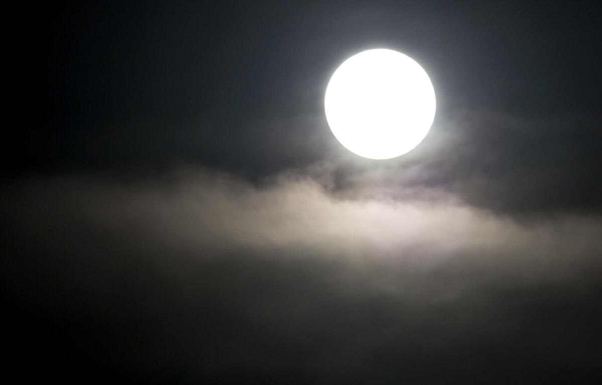
Tomorrow night: a moonlit sky. Low 40. Winds northwest 4-8 mph.
Friday: cloudy most of the time; cool. High 60. Winds southwest 4-8 mph.
Friday night: partly cloudy. Low 40. Winds northeast 3-6 mph.
Saturday: cool; considerable clouds in the morning, then times of sun and clouds in the afternoon. High 53. Winds north-northeast 4-8 mph.
Saturday night: becoming partly cloudy and colder. Freezing temperatures in normally colder spots. Low 37. Winds light and variable.
Sunday: partial sunshine. High 62. Winds west-northwest 6-12 mph.
Sunset today 8:05 p.m.
Sunrise Friday 6:19 a.m.
Historical weather data for this date at the Dale Enterprise Weather Station
High: 89 in 1974
Low: 28 in 1976
Precipitation: 0.84 in 2002
Snowfall: 0.1 in 1939