


 Listen Live
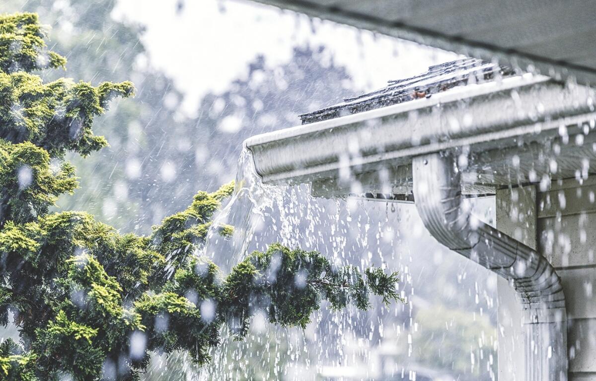

HARRISONBURG VA: (Rocktown Now) – A warm, moisture‑rich pattern continues over the Shenandoah Valley, keeping us in a stretch of unsettled, summerlike weather. The National Weather Service notes daily chances for showers and thunderstorms through early next week, driven by weak upper‑level disturbances and daytime heating. Storms will be hit‑or‑miss but capable of heavy rainfall, frequent lightning, and localized damaging wind gusts, especially during the afternoon and evening. Temperatures trend warmer under a building ridge, with highs climbing into the upper 80s and near 90. Convection may briefly ease midweek before another front increases storm chances later in the week.
The WSVA local AccuWeather forecast for Harrisonburg and the Shenandoah Valley
Today: partly sunny and humid with a thunderstorm this afternoon. High 82. Winds east
northeast 4-8 mph.
Tonight: mostly cloudy and humid with periods of rain and a thunderstorm late. Low 71. Winds
south 4-8 mph.
Tomorrow: times of clouds and sun with a couple of showers and a thunderstorm; humid. Thunderstorms can bring flash flooding and localized damaging wind gusts. High 84. Winds south-southwest 6-12 mph.
Monday: times of clouds and sun with a couple of showers; humid. High 87. Winds northwest 6-12
mph.
Tuesday: partly sunny with a couple of thunderstorms. High 86. Winds northeast 4-8 mph.
Wednesday: mostly sunny and humid. High 87. Winds southwest 4-8 mph.
Thursday: partly sunny with an afternoon shower. High 85. Winds west 3-6 mph.
Sunset today will be at 8:09 p.m.
Sunrise Sunday will be at 6:30 a.m.
Moonrise today will be at 9:41 a.m.
Moonset today will be at 9:37 p.m.
Historical weather data for this date at the Dale Enterprise Weather Station
High: 101 in 1988
Low: 45 in 1964
Precipitation: 3.83 in 1949