

March 28, 2024
A low tracking to our north, combined with high pressure building to our south, will lead to gusty winds during the day Friday and Saturday. Despite clouds and a little rain earlier this week, the threat of wildfires will increase as lowering humidity is expected. The National Weather Service fire forecast is for winds from the northwest, gusting to between 40 and 50 mph on Friday. Saturday winds are expected to be from the southwest at 25 to 35 mph. Rain is likely starting late Sunday into Tuesday.
From the National Weather Service
Dry and windy conditions are expected to develop later this afternoon in the wake of a cold front. Relative humidity values may drop to as low as 20 to 25 percent in strong northwest winds of around 15 to 20 mph, with gusts up to 25 to 30 mph, especially at higher elevations. This will result in the continued drying of fine fuels, especially the sub-10 hour fuels, which are currently the source of many fires in the outlined areas.
Residents and visitors are urged to exercise caution if handling open flames or equipment that creates sparks. Also, dispose of cigarette butts, matches, and other flammable items in appropriate containers. Keep vehicles off of dry grass and obey local burn bans.
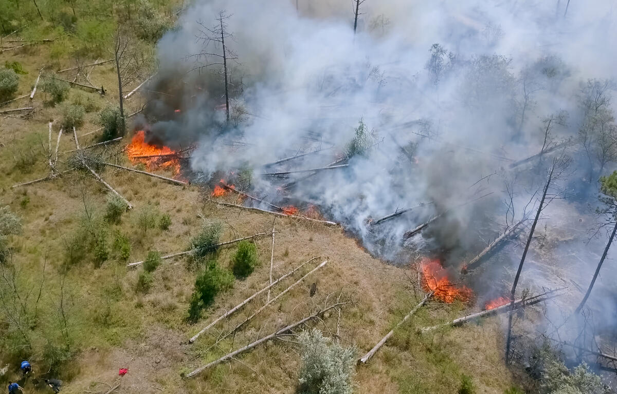
Most dry grasses, dead leaves, and other tree litter could easily ignite and spread fire quickly.
For more information about wildfire danger, burn restrictions, and wildfire prevention and education, please visit your state’s forestry or environmental protection website.
© 2024 National Weather Service