


 Listen Live
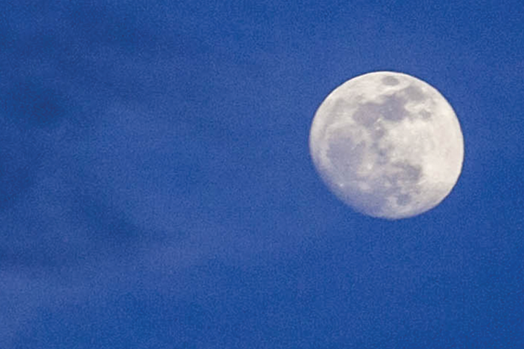

HARRISONBURG VA: (Rocktown Now) – The chance for showers and thunderstorms will decrease, and skies will clear as the night progresses. High pressure will bring sunny skies and lower humidity for Wednesday and help keep skies clear into the upcoming weekend. July’s Full Buck Moon will shine bright for the next few nights. While it will reach it’s peak at 10:35 a.m. Wednesday, you will have no problem viewing overnight. into Thursday.
The 7-Day forecast for Harrisonburg and the Shenandoah Valley
Tonight: Scattered showers and thunderstorms before 8pm. Patchy fog after 5am. Otherwise, mostly cloudy, then gradually becoming clear, with a low around 62. Northwest wind 5 to 8 mph becoming calm in the evening. Winds could gust as high as 21 mph. Chance of precipitation is 30%.
Wednesday: Patchy fog before 8am. Otherwise, sunny, with a high near 82. Light northwest wind increasing to 6 to 11 mph in the morning. Winds could gust as high as 20 mph.
Wednesday Night: Mostly clear, with a low around 59. Northwest wind 5 to 9 mph becoming calm after midnight. Winds could gust as high as 21 mph.
Thursday: Sunny, with a high near 82. Light northwest wind becoming north 6 to 11 mph in the morning. Winds could gust as high as 20 mph.
Thursday Night: Mostly clear, with a low around 59. North wind around 6 mph becoming calm in the evening.
Friday: Sunny, with a high near 84.
Friday Night: Partly cloudy, with a low around 64.
Saturday: A slight chance of showers and thunderstorms after 2pm. Partly sunny, with a high near 86. Chance of precipitation is 20%.
Saturday Night: A slight chance of showers and thunderstorms, then a chance of showers after 8pm. Mostly cloudy, with a low around 66. Chance of precipitation is 30%.
Sunday: A slight chance of showers, then showers likely and possibly a thunderstorm after 2pm. Mostly cloudy, with a high near 81. Chance of precipitation is 60%.
Sunday Night: Showers and thunderstorms likely. Mostly cloudy, with a low around 67. Chance of precipitation is 60%.
Monday: A chance of showers and thunderstorms. Mostly cloudy, with a high near 82. Chance of precipitation is 50%.
Monday Night: A chance of showers and thunderstorms. Mostly cloudy, with a low around 67. Chance of precipitation is 30%.
Tuesday: A chance of showers and thunderstorms. Partly sunny, with a high near 84. Chance of precipitation is 40%.
Sunset today will be at 8:29 p.m.
Sunrise Wednesday will be at 6:15 a.m.
Historical weather data for this date at the Dale Enterprise Weather Station
High: 100 in 130
Low: 43 in 1907
Precipitation: 1.67 in 1969