


 Listen Live
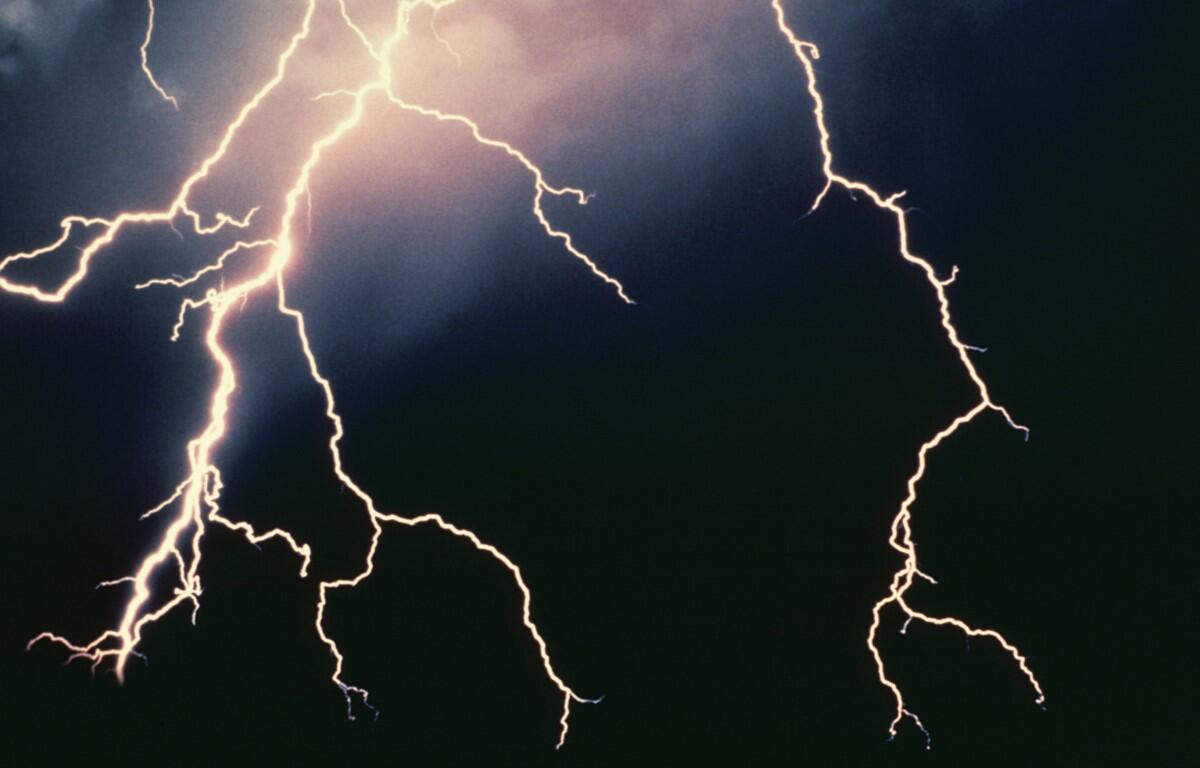

HARRISONBURG VA: (Rocktown Now) – According to the National Weather Service, slow moving thunderstorms could produce heavy rainfall that leads to isolated instances of flooding this afternoon and evening around the Shenandoah Valley. The chance for thunderstorms and heavy downpours will continue on Thursday. High pressure is expected to build to our north by Thursday, helping clear skies by the end of the week and keeping things dry and less humid into the upcoming weekend.
The WSVA local AccuWeather forecast for Harrisonburg and the Shenandoah Valley
Tonight: cloudy with a thunderstorm in one or two spots; fog late and humid. Low 64. Winds south-southwest 3-6 mph.
Wednesday: remaining cloudy and humid with a couple of showers and a thunderstorm. High 76. Winds southwest becoming south-southwest 4-8 mph.
Thursday: partly sunny, breezy and less humid. High 77. Winds north 10-20 mph.
Friday: partly sunny and pleasant. High 79. Winds east-southeast 3-6 mph.
Saturday: partly sunny. High 68. Winds north-northwest 3-6 mph.
Sunset today will be at 8:29 p.m.
Sunrise Wednesday will be at 5:55 a.m.
Historical weather data for this date at the Dale Enterprise Weather Station
High: 94 in 1914
Low: 34 in 1988
Precipitation: 1.56 in 2009