
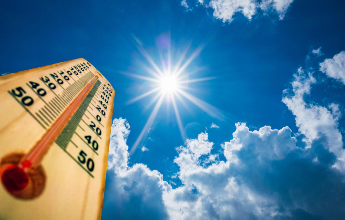

HARRISONBURG VA: (ROCKTOWN NOW) – The air temperature will be lower today, but the humidity will continue to make it feel near to over 100-degrees. According to the National Weather Service, A ridge of high pressure overhead will bring continued hot conditions over the next several days. As the upper-level ridge slowly retreats in the coming days, daily chances for showers and thunderstorms will increase through the end of the week. A weak frontal boundary will slowly drift southward by the end of the week into the weekend, before slowly lifting north into early next week.

Here’s the WSVA exclusive AccuWeather forecast for Harrisonburg and the Shenandoah Valley
Tonight: a thunderstorm in spots early this evening; otherwise, mostly clear and humid. Storms can bring
flooding downpours and localized damaging wind gusts. Low 69. Winds light and variable.
Tomorrow: sunny to partly cloudy, very warm and humid with a thunderstorm in the afternoon. Storms can
bring flooding downpours and localized damaging wind gusts. High 87. Winds west 4-8 mph.
Tomorrow night: widely separated thunderstorms in the evening; otherwise, partly cloudy and humid. Low
69. Winds light and variable.
Friday: humid with sun and clouds; an afternoon thunderstorm. Storms can bring flooding downpours and
localized damaging wind gusts. High 86. Winds southeast 4-8 mph.
Saturday: partly sunny and humid with an afternoon and evening thunderstorm in spots. High 86. Winds
southwest becoming west 3-6 mph.
Sunday: cloudy and humid with a stray thunderstorm in the afternoon. High 83. Winds light and variable.
Sunset today 8:43 p.m.
Sunrise Thursday 5:53 a.m.
Records for this date at the Dale Enterprise Weather Station, west of Harrisonburg, VA
High: 98 in 1914
Low: 41 in 1979
Rainfall: 1.08 in 2019