
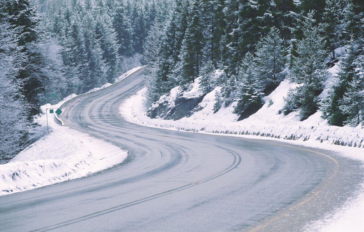

High pressure will bring sunshine to the Shenandoah Valley today. An area of low pressure will develop over the Carolinas and move north, bringing moisture to the Mid Atlantic area by late tonight into Tuesday. Temperatures will be cold enough for that moisture to be of the frozen variety, at least to start. Freezing rain is expected for most of the Shenandoah Valley and Central Virginia with snow further north over western Maryland and rain east of Richmond. Temperatures should climb above freezing during the day Tuesday, changing everything to rain before ending. Dry weather returns for Wednesday through Friday.
WINTER WEATHER ADVISORY TONIGHT INTO TUESDAY
Here’s the WSVA exclusive AccuWeather forecast for Harrisonburg and the Shenandoah Valley
Tonight: periods of sleet and freezing rain late; until then, partly cloudy this evening. Untreated surfaces
will be slippery. Low 27. Winds south 4-8 mph.
Tomorrow: periods of rain and freezing rain in the morning; otherwise, cloudy and cold. Watch for slippery
spots on bridges and overpasses. High 39. Winds northeast 4-8 mph.
Tomorrow night: partly cloudy. Low 21. Winds northwest 4-8 mph.
Wednesday: sunshine and a few clouds. High 42. Winds southwest 4-8 mph.
Thursday: intervals of clouds and sun. High 43. Winds north-northwest 4-8 mph.
Friday: mostly cloudy and colder with a bit of snow in the afternoon. High 32. Winds south-southeast 4-8
mph.
Sunset this afternoon will be at 4:54 p.m.
Sunrise on Tuesday will be at 7:15 a.m.
Historical weather data for this date at the Dale Enterprise Weather Station
High: 74 in 1998
Low: 5 in 1929
Rainfall: 3.02 in 1934
Snowfall: 5.0 in 1974