
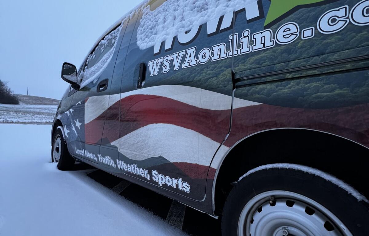

STERLING VA: (NATIONAL WEATHER SERVICE) – The National Weather Service issued a winter weather advisory from 7:00 a.m. Sunday through 1:00 a.m. Monday morning.
* WHAT…Mixed precipitation expected. Total snow and sleet accumulations up to one inch and ice accumulations around one tenth of an inch.
* WHERE…Portions of north central Maryland, northwest and western Virginia, and panhandle West Virginia.
* WHEN…From 7 AM Sunday to 1 AM EST Monday.
* IMPACTS…Roads, and especially bridges and overpasses, will likely become slick and hazardous. Plan on slippery road conditions. The combination of snow and ice could result in sporadic power outages.
* ADDITIONAL DETAILS…A period of snow, sleet and freezing rain is likely from Sunday morning through Sunday afternoon. Precipitation transitions to rain at elevations below 2000 ft Sunday afternoon. Above 2000 ft, a period of freezing rain or drizzle may persist through Sunday night. The highest ice accumulation will be at elevations above 2500 ft, with a glaze of ice possible near the valley floor.