

HARRISONBURG VA: (Rocktown Now) – Low pressure with an associated cold front will move over the Shenandoah Valley today into Monday. This will bring strong, gusty winds, this afternoon into the night. The best chance for rain will be from late afternoon through the evening hours, with lingering showers possible overnight. High pressure returns on Monday, but a second cold front will bring cooler temperatures midweek.
From the National Weather Service
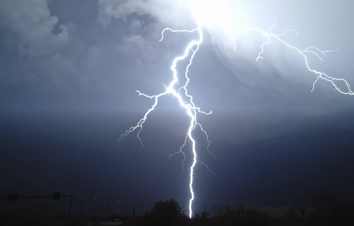
A line of gusty showers and isolated thunderstorms will be capable
of producing damaging wind gusts, and perhaps a brief tornado,
through 11 PM this evening.
Here’s the WSVA exclusive AccuWeather forecast for Harrisonburg and the Shenandoah Valley
Tonight: a couple of showers and a thunderstorm this evening; otherwise, cloudy and windy. Low 48.
Winds west-southwest 12-25 mph.
Tomorrow: breezy in the morning; otherwise, after a cloudy start, sun returns. High 63. Winds west-northwest 10-20 mph.
Tomorrow night: a starlit sky. Freezing temperatures in the normally colder spots. Low 36. Winds
southwest 4-8 mph.
Tuesday: mostly sunny. High 68. Winds southwest 7-14 mph.
Wednesday: cloudy to partly sunny, breezy and cooler. High 57. Winds west 10-20 mph.
Thursday: some clouds, then sunny. High 56. Winds west 7-14 mph.
Sunset today will be at 6:31 p.m.
Sunrise Monday will be at 7:29 a.m.
Historical weather records for this date at the Dale Enterprise Weather Station
High: 87 in 1938
Low: 25 in 2009
Rainfall: 2.38 in 1968
Snowfall: A trace in 1974