

HARRISONBURG VA: (ROCKTOWN NOW) – It seems like it’s been raining for weeks, and there’s a chance for more today. A warm front moving through the Shenandoah Valley will bring more chances for showers and thunderstorms today as well as Wednesday. The chance for severe weather will increase Thursday and Friday, as a cold front comes in. The front will help lower the humidity for at least a day on Friday, before high pressure moves in for the weekend with an increase in temperatures and the return of humid weather. Summer arrives Friday, and will start to feel like summer, with temperatures at 90 or above starting Saturday.

Here’s the WSVA local AccuWeather forecast for Harrisonburg and the Shenandoah Valley of Virginia
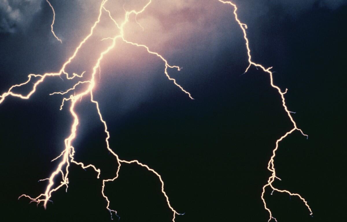
Tonight: mostly cloudy and humid with a couple of showers and a thunderstorm. Thunderstorms can bring
flash flooding and localized damaging wind gusts. Low 67. Winds south-southwest 4-8 mph.
Tomorrow: humid with times of sun and clouds; a thunderstorm around in the afternoon. Storms can bring
flooding downpours and localized damaging wind gusts. High 85. Winds southwest 7-14 mph.
Tomorrow night: mainly clear and humid. Low 67. Winds south-southwest 4-8 mph.
Thursday: humid with clouds and sunshine; a couple of showers and a heavy thunderstorm in the
afternoon. Thunderstorms can bring flooding downpours, hail and damaging wind gusts. High 84. Winds
southwest 8-16 mph.
Friday: partly sunny and less humid. High 85. Winds south-southwest 3-6 mph.
Saturday: sunny. High 88. Winds south-southwest 4-8 mph.
Sunset today 8:41 p.m.
Sunrise Wednesday 5:41 a.m.
Records for this date at the Dale Enterprise Weather Station, west of Harrisonburg, VA.
High: 94 in 2022
Low: 39 in 1917
Rainfall: 2.04 in 2017