

HARRISONBURG VA: (ROCKTOWN NOW) – Wind will continue to be a factor over the Shenandoah Valley, at least for the first half of today. An area of low pressure to our north will slowly move away, replaced by high pressure arriving Thursday. Temperatures will be colder today and especially tonight, when lows will drop to around freezing in most of the valley. Temperatures will return to the 70’s, maybe even 80, by the weekend, ahead of another cold front, dropping south over the weekend. The approach of the front will mean clouds, more wind, and a chance for some showers and thunderstorms this weekend.
Here’s the WSVA local AccuWeather forecast for Harrisonburg and the Shenandoah Valley
Tonight: clear. Low 31. Winds northwest 4-8 mph.
Tomorrow: sunny to partly cloudy. High 62. Winds south-southwest 4-8 mph.
Tomorrow night: partly cloudy. Low 43. Winds south 4-8 mph.
Friday: partial sunshine, breezy and warmer. Pollen levels will be very high. High 76. Winds southsouthwest 10-20 mph.
Saturday: very warm with clouds and sunshine, becoming breezy in the afternoon with a thunderstorm.
High 84. Winds south-southwest 10-20 mph.
Sunday: mostly cloudy with a shower possible. High 74. Winds east-southeast 4-8 mph.
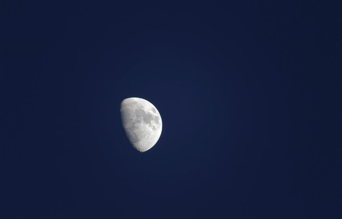
Sunset today will be at 7:53 p.m.
Sunrise Friday will be at 6:36 a.m.
Records for this date at the Dale Enterprise Weather Station
High: 88 in 1896
Low: 19 in 1950
Precipitation: 1.95 in 2018
Snowfall: Trace in 1935