

April 11, 2024
From the National Weather Service
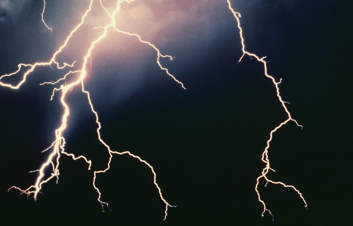
Damaging winds or an isolated tornado are possible tonight. Heavy
rainfall from thunderstorms may lead to isolated instances of
flooding.
A Wind Advisory is in effect this evening for the northern and
central Virginia Blue Ridge Mountains.
WSVA local AccuWeather forecast
Tonight: windy with periods of rain and a thunderstorm. Low 52. Winds southwest 15-25 mph.
Tomorrow: mainly cloudy and breezy with a couple of showers. High 59. Winds west-southwest 10-20
mph.
Tomorrow night: windy; cloudy in the evening, then partly cloudy late. Low 46. Winds west-northwest 10
-20 mph.
Saturday: breezy with some clouds, then sunshine. High 64. Winds west-northwest 10-20 mph.
Sunday: breezy and warmer with intervals of clouds and sun. High 76. Winds south-southwest 10-20 mph.
Monday: mostly sunny and pleasantly warm. High 79. Winds northwest 6-12 mph.
Area forecast discussion from the National Weather Service
Low pressure will move towards the Great Lakes region later today,
with an associated cold front moving through locally tonight. Upper
troughing will linger overhead tomorrow, with a reinforcing cold
front moving through late tomorrow. Highs builds to the south this
weekend with a low pressure system approaching to the north Sunday
night through early Monday morning before high pressure builds back
in by early next week.
Sunset today 7:48 p.m.
Sunrise Friday 6:43 a.m.