
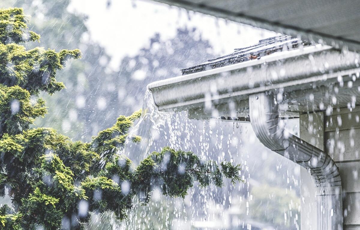

HARRISONBURG VA: (Rocktown Now) – A cold front will continue to move closer and closer to the Shenandoah Valley today, bringing an increased chance for showers and heavy thunderstorms through tonight. The front will move south of the area Friday and linger near the Virginia – North Carolina line into the upcoming weekend. With the front staying close by, the chance of showers and thunderstorms will likely continue through the weekend and into Monday. Canadian high pressure is expected to take control of the weather by Tuesday and Wednesday.
From the National Weather Service
Isolated storms capable of producing damaging wind gusts are
possible this evening.
Here’s the WSVA local AccuWeather forecast for Harrisonburg and the Shenandoah Valley
Tonight: a couple of showers and a thunderstorm this evening; otherwise, cloudy. Low 61. Winds west-northwest 4-8 mph.
Tomorrow: cloudy with a couple of showers and a thunderstorm. High 78. Winds north 4-8 mph.
Saturday: mainly cloudy and not as warm with a couple of showers. High 69. Winds north-northeast 4-8
mph.
Sunday: cloudy with a couple of showers and a thunderstorm. High 74. Winds north-northeast 6-12 mph.
Monday: cloudy with a couple of showers and a thunderstorm. High 74. Winds north-northeast 6-12 mph.
Sunset today and sunrise Friday exactly 12 hours apart
Sunset today 7:07 p.m.
Sunrise Friday 7:07 a.m.
Records for this date at the Dale Enterprise Weather Station
High: 93 in 2010
Low: 30 in 1963
Rainfall: 1.18 in 1940