
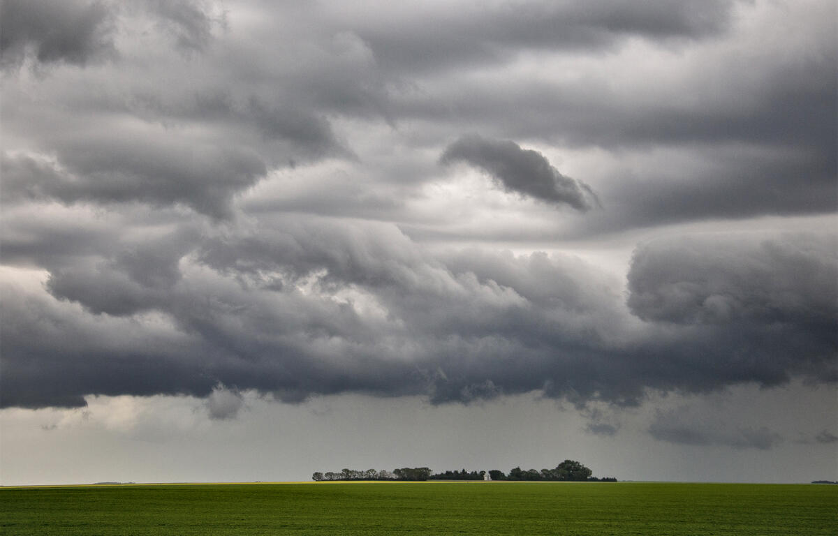

HARRISONBURG VA: (ROCKTOWN NOW) – The cold front and associated low pressure system, responsible for gusty winds and power outages today, will continue to move over the valley tonight. Skies will begin to clear and temperatures will drop late tonight into Monday morning. High pressure will build back in to the area on Monday.
Here’s the WSVA local AccuWeather forecast for Harrisonburg and the Shenandoah Valley
Tonight: showers and thunderstorms possible this evening. partly to mostly cloudy and breezy. Low 43.
Winds west 10-20 mph.
Tomorrow: cooler with clouds giving way to some sun. High 52. Winds northwest 8-16 mph.
Tomorrow night: clear and colder. Low 29. Winds northwest 3-6 mph.
Tuesday: mostly sunny and milder. High 65. Winds southeast 3-6 mph.
Wednesday: warm with intervals of clouds and sunshine. High 70. Winds south 4-8 mph.
Thursday: periods of clouds and sunshine, breezy and cooler with a shower in places. High 61. Winds west
10-20 mph.
Sunset tonight night will be at 7:23 p.m.
Sunrise Monday will be at 7:23 a.m.
Records at the Dale Enterprise Weather Station
High: 82 in 1945
Low: 5 in 1911
Precipitation: 0.83 in 2007
Snowfall: 12.00″ in 1960