
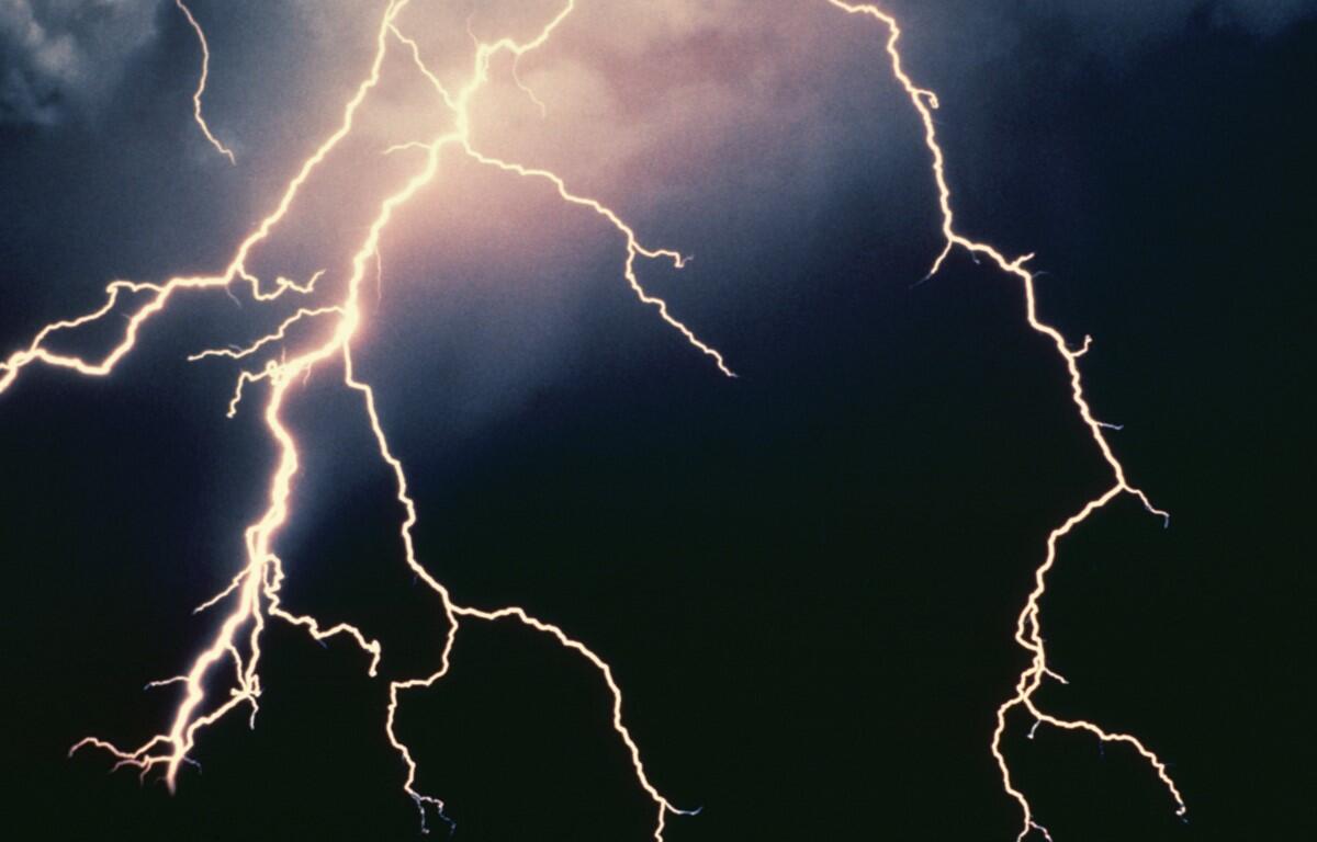

SEVERE THUNDERSTORM WATCH IN EFFECT UNTIL 1100 PM EDT
FOR THE FOLLOWING LOCATIONS
VA
. VIRGINIA COUNTIES INCLUDED ARE
ALBEMARLE ARLINGTON AUGUSTA
CLARKE CULPEPER FAIRFAX
FAUQUIER FREDERICK GREENE
HIGHLAND KING GEORGE LOUDOUN
MADISON NELSON ORANGE
PAGE PRINCE WILLIAM RAPPAHANNOCK
ROCKINGHAM SHENANDOAH SPOTSYLVANIA
STAFFORD WARREN
VIRGINIA INDEPENDENT CITIES INCLUDED ARE
ALEXANDRIA CHARLOTTESVILLE FAIRFAX
FALLS CHURCH FREDERICKSBURG HARRISONBURG
MANASSAS MANASSAS PARK STAUNTON
WAYNESBORO WINCHESTER
…FLOOD WATCH REMAINS IN EFFECT UNTIL MIDNIGHT EDT TONIGHT…
* WHAT…Flash flooding caused by excessive rainfall continues to be
possible.
* WHERE…Portions of Maryland, including the following areas,
Central and Eastern Allegany, Frederick MD and Washington,
Virginia, including the following areas, Albemarle, Augusta,
Central Virginia Blue Ridge, Central and Southeast Prince
William/Manassas/Manassas Park, Clarke, Culpeper, Eastern
Highland, Eastern Loudoun, Frederick VA, Greene, Madison, Nelson,
Northern Fauquier, Northern Virginia Blue Ridge, Northwest Prince
William, Orange, Page, Rappahannock, Rockingham, Shenandoah,
Southern Fauquier, Spotsylvania, Stafford, Warren, Western
Highland and Western Loudoun, and West Virginia, including the
following areas, Berkeley, Eastern Mineral, Hampshire, Hardy,
Jefferson and Morgan.
* WHEN…Until midnight EDT tonight.
* IMPACTS…Excessive runoff may result in flooding of rivers,
creeks, streams, and other low-lying and flood-prone locations.
Creeks and streams may rise out of their banks. Flooding may occur
in poor drainage and urban areas.
* ADDITIONAL DETAILS…
– Widespread thunderstorms are expected this evening. These
thunderstorms will be capable of producing very heavy
rainfall, with localized rainfall totals of two to
four inches possible within a one to two hour period. This
may result in flash flooding of small streams and creeks as
well as urban and poor drainage areas.
– Please visit weather.gov/safety/flood for flood safety and
preparedness information