

HARRISONBURG VA: (Rocktown Now) – The first of two cold fronts will cross the Shenandoah Valley today. The best chance of rain, in the form of showers and thunderstorms, will most likely be between 1 and 5 p.m. This is the weaker of the two fronts, and could easily break apart while crossing the valley, lessening the chance of any measurable rain. The second, stronger front, comes through Saturday. Unfortunately, the front Saturday, has a higher potential for severe weather.
Here’s the WSVA exclusive AccuWeather forecast for Harrisonburg and the Shenandoah Valley
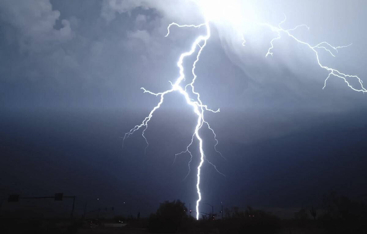
Tonight: an evening thunderstorm in spots; otherwise, mainly clear. Thunderstorms can bring localized
damaging wind gusts, hail and flooding downpours. Low 58. Winds south-southwest 6-12 mph.
Tomorrow: partly sunny. High 85. Winds south-southwest 6-12 mph.
Tomorrow night: partly cloudy. Low 63. Winds south-southwest 4-8 mph.
Saturday: humid with periods of clouds and sunshine; a thunderstorm in the afternoon. Thunderstorms
can bring hail and damaging winds. High 83. Winds southwest 6-12 mph.
Sunday: cooler and less humid; mostly cloudy in the morning followed by clouds giving way to some sun.
High 69. Winds north 3-6 mph.
Monday: mostly sunny and pleasant. High 71. Winds light and variable.
Sunset today will be at 7:40 p.m.
Sunrise Friday will be at 6:48 a.m.
Weather records for this date in history at the Dale Enterprise Weather Station
High: 97 in 1925
Low: 40 in 1916
Rainfall: 1.50 in 1935