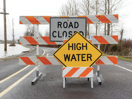
Flood Watch
Flood Watch
National Weather Service Baltimore MD/Washington DC
1137 AM EDT Sun Jul 13 2025

DCZ001-MDZ003>006-011-013-014-016-501>510-VAZ025>031-036>040-050-051-
053>057-501>508-526-527-WVZ050>053-055-501>506-132345-
/O.NEW.KLWX.FA.A.0025.250713T1600Z-250714T0600Z/
/00000.0.ER.000000T0000Z.000000T0000Z.000000T0000Z.OO/
District of Columbia-Washington-Frederick MD-Carroll-Northern
Baltimore-Southern Baltimore-Prince Georges-Anne Arundel-Charles-
Extreme Western Allegany-Central and Eastern Allegany-Northwest
Montgomery-Central and Southeast Montgomery-Northwest Howard-
Central and Southeast Howard-Northwest Harford-Southeast Harford-
Western Garrett-Eastern Garrett-Augusta-Rockingham-Shenandoah-
Frederick VA-Page-Warren-Clarke-Nelson-Albemarle-Greene-Madison-
Rappahannock-Orange-Culpeper-Fairfax-Arlington/Falls
Church/Alexandria-Stafford-Spotsylvania-King George-Northern
Fauquier-Southern Fauquier-Western Highland-Eastern Highland-
Western Loudoun-Eastern Loudoun-Northern Virginia Blue Ridge-
Central Virginia Blue Ridge-Northwest Prince William-Central and
Southeast Prince William/Manassas/Manassas Park-Hampshire-Morgan-
Berkeley-Jefferson-Hardy-Western Grant-Eastern Grant-Western
Mineral-Eastern Mineral-Western Pendleton-Eastern Pendleton-
1137 AM EDT Sun Jul 13 2025

...FLOOD WATCH IN EFFECT THROUGH LATE TONIGHT...

* WHAT...Flash flooding caused by excessive rainfall is possible.

* WHERE...The District of Columbia, and portions of Maryland,
  including the following areas, Anne Arundel, Carroll, Central and
  Eastern Allegany, Central and Southeast Howard, Central and
  Southeast Montgomery, Charles, Eastern Garrett, Extreme Western
  Allegany, Frederick MD, Northern Baltimore, Northwest Harford,
  Northwest Howard, Northwest Montgomery, Prince Georges, Southeast
  Harford, Southern Baltimore, Washington and Western Garrett,
  Virginia, including the following areas, Albemarle,
  Arlington/Falls Church/Alexandria, Augusta, Central Virginia Blue
  Ridge, Central and Southeast Prince William/Manassas/Manassas
  Park, Clarke, Culpeper, Eastern Highland, Eastern Loudoun,
  Fairfax, Frederick VA, Greene, King George, Madison, Nelson,
  Northern Fauquier, Northern Virginia Blue Ridge, Northwest Prince
  William, Orange, Page, Rappahannock, Rockingham, Shenandoah,
  Southern Fauquier, Spotsylvania, Stafford, Warren, Western
  Highland and Western Loudoun, and West Virginia, including the
  following areas, Berkeley, Eastern Grant, Eastern Mineral, Eastern
  Pendleton, Hampshire, Hardy, Jefferson, Morgan, Western Grant,
  Western Mineral and Western Pendleton.

* WHEN...Through 2 AM tonight.

* IMPACTS...Excessive runoff may result in flooding of rivers,
  creeks, streams, and other low-lying and flood-prone locations.

* ADDITIONAL DETAILS...
  - Showers and thunderstorms will form this afternoon and linger
    on and off through the first half of the night. Storms will
    be slow moving and capable of producing very heavy rainfall.
    Rainfall totals of 1 to 2 inches appear likely for locations
    that receive thunderstorms, with isolated totals of 2 to 4
    inches. The strongest thunderstorms may be capable of
    producing 1.5 to 2.5 inches of rain in an hour.
  - Please visit www.weather.gov/safety/flood for flood safety
    and preparedness information


