


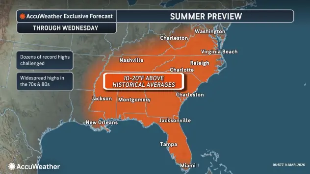
HARRISONBURG VA: (Rocktown Now) – With the Jetstream staying to our north, warm temperatures will continue today into Wednesday. A strong cold front arrives late Wednesday, dropping the temperatures and bringing a chance for showers and thunderstorms overnight into Thursday. Highs will be in the 50’s starting Thursday with lows going into the 20’s Thursday night.
Here’s the WSVA exclusive AccuWeather forecast for Harrisonburg and the Shenandoah Valley
Today: mostly sunny and very warm. High 79. Winds south-southwest 6-12 mph.
Tonight: clear early, then increasing clouds. Low 56. Winds south-southwest 6-12 mph.
Tomorrow: remaining warm with variable cloudiness. High 78. Winds south-southwest 8-16 mph.
Wednesday night: showers and a chance for thunderstorms. A more steady rain late at night. Low 42. Winds southwest 10 – 15 mph.
Thursday: a couple of brief showers early in the morning; windy and cooler with clouds giving
way to some sun. High 56. Winds northwest 15-25 mph.
Friday: windy with times of clouds and sun. High 57. Winds south-southwest 15-25 mph.
Saturday: nice with times of clouds and sun. High 60. Winds southwest 6-12 mph.
Sunset today will be at 7:17 p.m.
Sunrise Wednesday will be at 7:32 a.m.
Historical weather data for this date at the Dale Enterprise Weather Station
High: 76 in 2016
Low: 8 in 1996
Precipitation: 2.01 in 1901
Snowfall: 6.0 in 1910