

HARRISONBURG VA: (ROCKTOWN NOW) -A backdoor cold front will gradually move into the Shenandoah Valley this afternoon and evening. This boundary is expected to stall over the region from Saturday through early next week, before lifting northward as a warm front by late Tuesday. Meanwhile, high pressure over the Atlantic will usher in hotter conditions by midweek.

Here’s the exclusive WSVA local AccuWeather forecast for Harrisonburg and the Shenandoah Valley
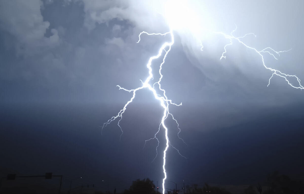
Tonight: a drenching thunderstorm this evening; cloudy and humid. Low 66. Winds south-southwest 3-6
mph.
Tomorrow: not as warm but humid with times of clouds and sun; a drenching thunderstorm in the
afternoon. There can be ponding on roadways. High 80. Winds southeast 4-8 mph.
Tomorrow night: increasing clouds with a couple of showers and a thunderstorm, mainly early; humid.
Low 67. Winds southeast 3-6 mph.
Sunday: considerable cloudiness and humid with a couple of showers. There can be ponding on roadways.
High 74. Winds southeast 4-8 mph.
Monday: intervals of clouds and sunshine with widely separated thunderstorms; humid. High 72. Winds
northeast 6-12 mph.
Tuesday: periods of clouds and sunshine with a couple of thunderstorms, especially late; humid and
warmer. High 79. Winds south 6-12 mph.
Wednesday: partly sunny and humid with a thunderstorm in spots in the afternoon. High 85. Winds southsouthwest 4-8 mph.
Thursday: partly sunny and humid with a couple of thunderstorms, especially early in the day. High 86.
Winds southwest 6-12 mph.
Sunset today 8:40 p.m.
Sunrise Saturday 5:50 a.m.
Records for this date at the Dale Enterprise Weather Station, west of Harrisonburg, VA
High: 98 in 1914
Low: 42 in 1903
Rainfall: 1.60 in 1982