

…FLOOD WARNING IN EFFECT UNTIL 1145 PM EDT THIS EVENING…
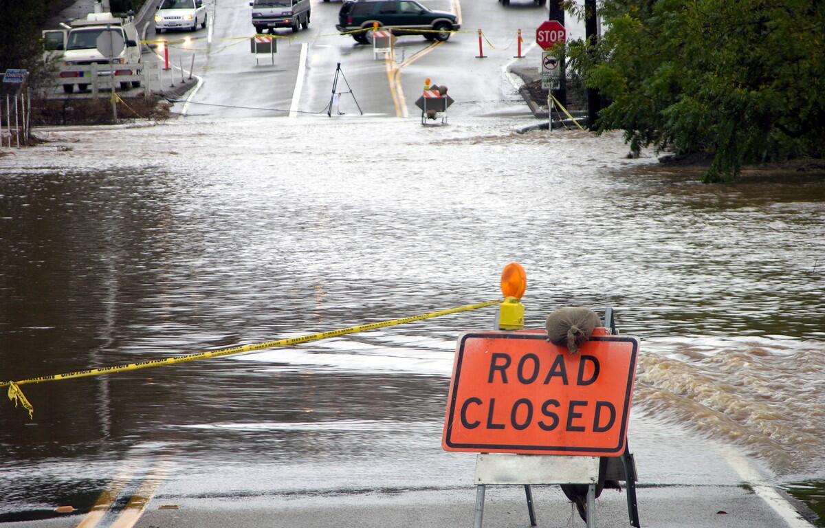
* WHAT…Flooding caused by excessive rainfall is expected.
* WHERE…Portions of northwest and western Virginia, including the
following counties, in northwest Virginia, City of Winchester,
Clarke, Frederick, Page, Shenandoah and Warren. In western
Virginia, City of Harrisonburg and Rockingham.
* WHEN…Until 1145 PM EDT Tuesday.
* IMPACTS…Flooding of rivers, creeks, streams, and other low-lying
and flood-prone locations is imminent or occurring.
* ADDITIONAL DETAILS…
– At 534 PM EDT, Doppler radar indicated heavy rain due to
thunderstorms. Flooding is ongoing or expected to begin
shortly in the warned area. Between 1 and 2 inches of rain
have fallen.
– Additional rainfall amounts of 1 to 2 inches are possible in
the warned area.
– Some locations that will experience flooding include…
Harrisonburg… Winchester…
Front Royal… Strasburg…
Woodstock… Millwood Pike…
Bridgewater… Luray…
Berryville… Broadway…
Timberville… Mount Jackson…
Stephens City… Star Tannery…
Basye-Bryce Mountain… Linden…
Dale Enterprise… Weyers Cave…
New Market… Dayton…
– Please visit www.weather.gov/safety/flood for flood safety
and preparedness information
PRECAUTIONARY/PREPAREDNESS ACTIONS…
Turn around, don`t drown when encountering flooded roads. Most flood
deaths occur in vehicles.
Be especially cautious at night when it is harder to recognize the
dangers of flooding.