

HARRISONBURG VA: (Rocktown Now) – A significant outbreak of severe storms is expected from late this afternoon through tonight across a broad stretch of the United States. These storms may produce multiple tornadoes and intense thunderstorms from the Midwest through parts of the East Coast, extending from New York to Florida.
Although the most severe weather is likely to remain to our west and across the southern states, the Shenandoah Valley could still experience some strong storms. The greatest local risk will occur late tonight, with heavy rain and strong, gusty winds possible.
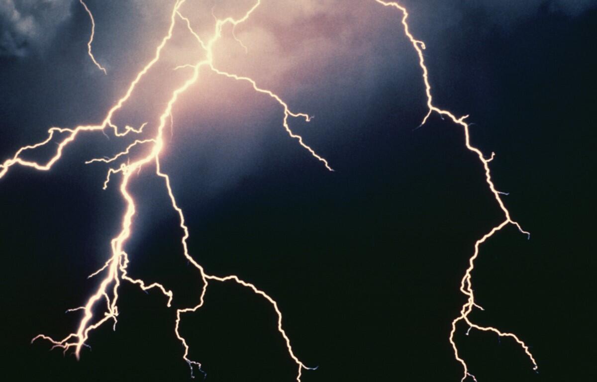
According to the National Weather Service, severe thunderstorms could develop in the Shenandoah Valley today, most likely between 2 PM and 7 PM. These storms may produce damaging wind gusts of 60–70 mph, large hail, and a few tornadoes, some of which could be strong.
Here’s the WSVA exclusive AccuWeather forecast for Harrisonburg and the Shenandoah Valley
Today: very warm with variable cloudiness; breezy in the afternoon. High 79. Winds south-southwest 8-16 mph.
Tonight: becoming cloudy with a couple of showers in the evening followed by periods of rain, some heavy, and a thunderstorm late. Thunderstorms can bring damaging winds. Low 44. Winds west 8-16 mph.
Thursday: a couple of brief showers early in the morning; windy and cooler with clouds giving way to some sun. High 52. Winds northwest 15-25 mph.
Friday: strong winds; times of clouds and sun. High 57. Winds south-southwest 15-25 mph.
Saturday: more sun than clouds. High 57. Winds light and variable.
Sunset today will be at 7:18 p.m.
Sunrise Thursday will be at 7:31 a.m.
Historical weather data for this date at the Dale Enterprise Weather Station
High: 76 in 1967
Low: 6 in 1960
Precipitation: 1.55 in 1952
Snowfall: 8.0 in 1963