

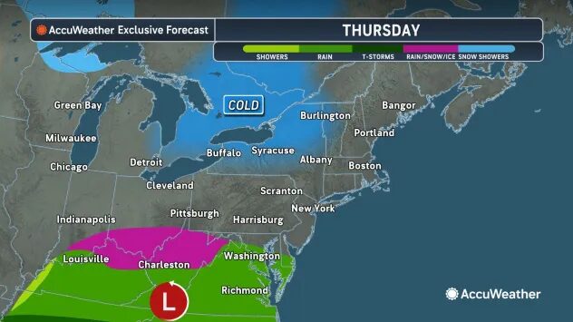
HARRISONBURG VA: (Rocktown Now) -Rain will be ending around sunset this evening and skies will begin to clear overnight. Warmer temperatures and clear skies will return Friday and Saturday. The next cold front should arrive Sunday with colder temperatures and mixed precipitation for the first of the week.
Here’s the WSVA exclusive AccuWeather for Harrisonburg and the Shenandoah Valley
Tonight: clearing. Low 31. Winds west-southwest 3-6 mph.
Tomorrow: mostly sunny. High 55. Winds south-southwest 4-8 mph.
Tomorrow night: clear to partly cloudy. Low 34. Winds south-southwest 6-12 mph.
Saturday: mostly sunny and warmer. A beautiful start to the weekend. High 66. Winds southwest 4-8 mph.
Saturday night: partly cloudy. Low 40. Winds west-southwest 4-8 mph.
Sunday: mainly cloudy and cooler. High 48. Winds northeast 7-14 mph.
Sunday night: snow arriving late at night. Low 26. Winds northeast 3-6 mph.
Monday: snow, sleet, and freezing rain; colder. High 32. Winds east 4-8 mph.
Sunset today will be at 6:05 p.m.
Sunrise Friday will be at 6:50 a.m.
Historical weather data for this date at the Dale Enterprise Weather Station
High: 77 in 2000
Low: 4 in 1900
Precipitation: 1.00 in 1912
Snowfall: 5.0 in 1904