

HARRISONBURG, VA (Rocktown Now) — A Winter Storm Warning has been issued for parts of Virginia and eastern West Virginia, with forecasters warning of heavy snow, ice accumulation and potentially dangerous travel conditions through early Monday.
The National Weather Service office in Baltimore/Washington issued the warning at 10:03 a.m. Friday. It remains in effect from 7 p.m. Saturday through 1 a.m. Monday.
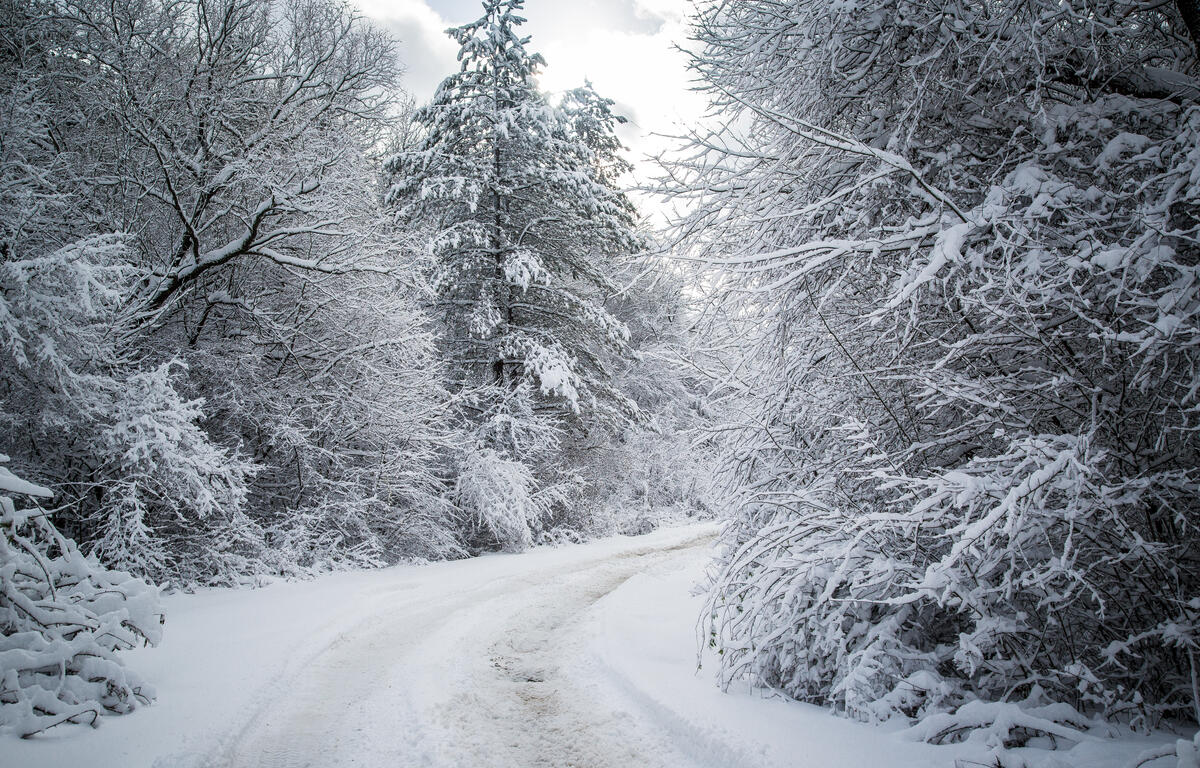
According to the NWS, the storm is expected to bring a combination of snow, sleet and freezing rain. Total snow and sleet accumulations of 8 to 14 inches are forecast, with the highest amounts west of the Blue Ridge, particularly in eastern West Virginia. Ice accumulations of one to two tenths of an inch are expected mainly south of U.S. Route 33, with up to a quarter inch of ice possible along the Blue Ridge.
The warning covers portions of central, northwest and western Virginia, as well as eastern West Virginia.
Snow is expected to spread across the region Saturday night and may become heavy at times, with snowfall rates of one to two inches per hour possible. On Sunday, precipitation may mix with sleet or freezing rain, especially south of Interstate 70. Forecasters say significant icing is possible across central Virginia.
The storm could lead to power outages and tree damage due to ice accumulation. Travel conditions may become nearly impossible, and visibility could drop to a quarter mile or less at times.
In addition to wintry precipitation, the NWS warned of prolonged cold following the storm. Wind chills in the teens and single digits are expected to begin Friday evening and persist through the middle of next week, with subzero wind chills possible at times.