

HARRISONBURG VA: (Rocktown Now) – The combination of a cold front and a low pressure system to the south, is expected to bring measureable snow to the area today. High pressure builds in Tuesday ahead of another weather system snow showers late in the week.
From the National Weather Service
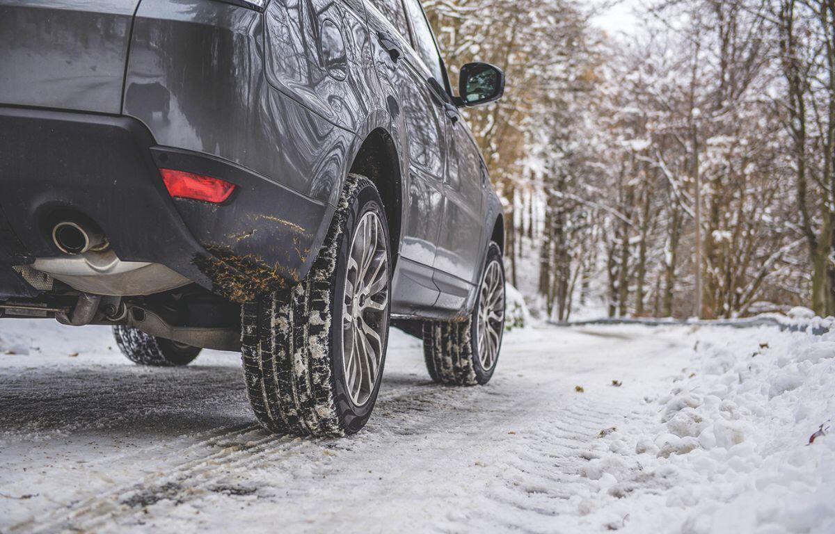
LIGHT SNOW AND VERY COLD TEMPERATURES WILL LEAD TO SLICK SPOTS THIS EVENING INTO TONIGHT… Light snow continues to impact areas along the I-64 corridor and southward. This snow will continue for a few more hours before tapering off this evening. Additional snow accumulations of less than an inch are expected. Temperatures are well below freezing however, so any areas that are wet could quickly freeze, especially on untreated and elevated surfaces.
The WSVA exclusive AccuWeather forecast for Harrisonburg and the Shenandoah Valley
Tonight: partly cloudy and colder. Slushy areas and standing water will freeze. Low 15. Winds northwest 4
-8 mph.
Tomorrow: cold with intervals of clouds and sunshine. High 34. Winds south-southwest 7-14 mph.
Tomorrow night: cloudy. Low 25. Winds south-southwest 6-12 mph.
Wednesday: cloudy, breezy and not as cold. High 46. Winds southwest 10-20 mph.
Thursday: low clouds. High 38. Winds west 6-12 mph.
Friday: overcast and cold. High 36. Winds south-southeast 4-8 mph.
Sunset today will be at 4:54 p.m.
Sunrise Tuesday will be at 7:21 a.m.
Historical weather data for this date at the Dale Enterprise Weather Station
High: 74 in 1998
Low: -4 in 1910
Precipitation: 1.09 in 1974
Snowfall: 7.0 in 1917