

STERLING VA: (Rocktown Now) – The region is bracing for its first significant winter weather event of the season, with a mix of snow, sleet, and freezing rain expected to move in overnight. According to the National Weather Service, precipitation will begin after midnight, spreading from southwest to northeast.
Forecasters say most areas will start with snow before transitioning to sleet and freezing rain during the early morning hours. Areas along and south of U.S. Route 50 and Interstate 66 could see the storm end as rain as temperatures rise through Tuesday morning. Meanwhile, communities near the Mason-Dixon Line may remain all snow, though that depends on the exact track of the storm system.
A Winter Weather Advisory is in effect from 1 a.m. to noon Tuesday for much of central, northern, and western Virginia, as well as parts of eastern West Virginia. Expected impacts include:
Snow and Sleet: Up to one inch possible.
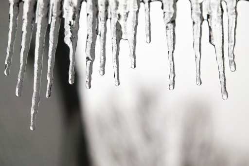
Ice Accumulation: Around one-tenth of an inch, with up to two-tenths on higher ridges.
Hazards: Slippery roads and dangerous travel conditions, especially during the Tuesday morning commute.
Officials urge drivers to plan ahead and stay alert for changing conditions. Additional forecast updates are expected as the storm approaches.