

May 20, 2024
Here’s the WSVA Exclusive AccuWeather forecast
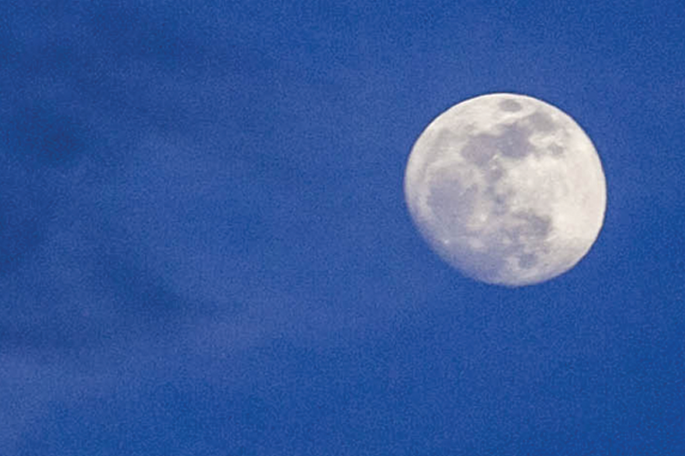
Tonight: an evening shower or thunderstorm, then a moonlit sky. Low 58. Winds south-southwest 4-8 mph.
Tomorrow: very warm and humid with intervals of clouds and sunshine. High 85. Winds south-southwest 4
-8 mph.
Tomorrow night: mostly cloudy. Low 61. Winds south-southwest 4-8 mph.
Thursday: some sun, then turning cloudy with a heavy thunderstorm in the afternoon. Thunderstorms can
bring flooding downpours, hail and damaging wind gusts. High 80. Winds southwest 4-8 mph.
Friday: mostly cloudy with a passing shower in the morning followed by a thunderstorm in the afternoon.
High 80. Winds south 3-6 mph.
Saturday: rather cloudy with a thunderstorm possible. High 83. Winds west-southwest 4-8 mph.
Sunday: clouds and sun. High 80. Winds light and variable.
Monday: mostly cloudy with a thunderstorm possible. High 79. Winds west-northwest 7-14 mph.
Area forecast discussion from the National Weather Service
High pressure will move offshore through Wednesday. A cold front
will approach from the Midwest late Wednesday, then cross the
northern Mid-Atlantic Thursday. The front will stall to the
north across Pennsylvania keeping the local area in a warm and
humid air mass through early next week.
Sunset today will be at 8:25 p.m.
Sunrise Wednesday will be at 5:58 a.m.